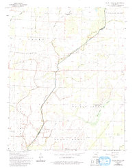
1965 Map of Walnut Ridge SE
USGS Topo · Published 1993About this map
Cache River winds through this mid-1960s landscape, defining the border between Lawrence and Greene counties. The terrain is marked by an extensive network of drainage features such as Beaver Dam Ditch, Tupelo Slough, and Negro Slough, reflecting the agricultural transformation of the Arkansas Delta. These engineered waterways supported a scattered collection of communities and townships, including Whiskerville, Fontaine, and Walnut Corner. The presence of established community centers like New Covenant Ch and the Promised Land township suggests a deeply rooted rural society. For genealogists, the map provides precise locations for family burial grounds including Jenkins Cem, Fender Cem, and Ray Cem, alongside the small crossroads of Light. This survey captures the region just before modern industrial farming further consolidated the landscape.
Find a feature on this map
35 named features on this map. Tap any name to fly to it.
Don’t see what you’re looking for? This feature index may not catch every label — zoom into the map to look around manually.
Map Details
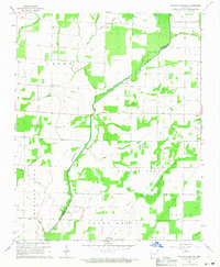
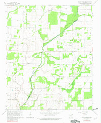
Editions of this 1965 Walnut Ridge SE Map
3 editions found
Other maps of this area

1932 · Walnut Ridge
USGS Topo · 1:62,500

1935 · Sedgwick
USGS Topo · 1:62,500

1935 · Walnut Ridge
USGS Topo · 1:62,500

1939 · Jonesboro
USGS Topo · 1:62,500

1940 · Gainesville
USGS Topo · 1:62,500

1953 · Memphis
USGS Topo · 1:250,000

1956 · Memphis
USGS Topo · 1:250,000

1957 · Poplar Bluff
USGS Topo · 1:250,000

1958 · Jonesboro
USGS Topo · 1:62,500

1958 · Gainesville
USGS Topo · 1:62,500