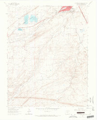
1963 Map of Walsenburg South
USGS Topo · Published 1966About this map
Walsenburg serves as the focal point for this southern Colorado landscape, where the Cucharas River and several rail corridors converge. The mid-century industrial footprint of the region is evident through numerous extraction sites, including the Mutual Mine, Solar Mine, and Globe Mine. These operations are clustered near the distinct geological formation of The Hogback and Unfug Ridge, demonstrating the historical intersection of geology and commerce. Within the town itself, civic life is anchored by St Marys Sch, Washington Sch, and the local City Hall. To the west, Lathrop State Park encompasses Lake Meriam and Lake Oehm, providing a contrast to the rugged industrial character of the surrounding terrain. Transportation is dominated by the Denver and Rio Grande Western and the Colorado and Southern railroads, which facilitated the movement of resources through this corridor.
Find a feature on this map
36 named features on this map. Tap any name to fly to it.
Don’t see what you’re looking for? This feature index may not catch every label — zoom into the map to look around manually.
Map Details
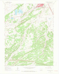
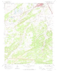
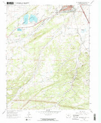
Editions of this 1963 Walsenburg South Map
4 editions found
Other maps of this area

1891 · Walsenburg
USGS Topo · 1:125,000

1891 · Spanish Peaks
USGS Topo · 1:125,000

1893 · Spanish Peaks
USGS Topo · 1:125,000

1894 · Walsenburg
USGS Topo · 1:125,000

1895 · Spanish Peaks
USGS Topo · 1:125,000

1897 · Walsenburg
USGS Topo · 1:125,000

1897 · Spanish Peaks
USGS Topo · 1:125,000

1900 · Spanish Peaks
USGS Topo · 1:125,000

1900 · Walsenburg
USGS Topo · 1:125,000

1954 · Trinidad
USGS Topo · 1:250,000