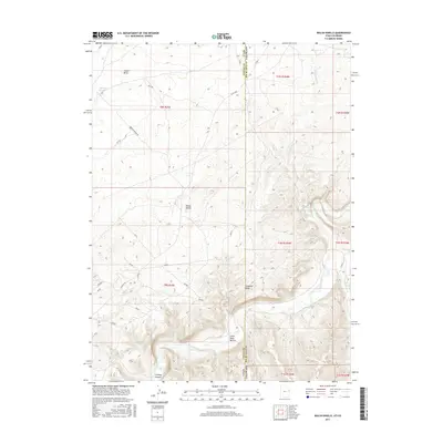
2017 Map of Walsh Knolls
USGS Topo · Published 2017About this map
White River canyon lands and high desert plateaus define this borderland where Utah meets Colorado. The landscape is marked by deep geographic incisions like Cowboy Canyon and Gilsonite Draw, reflecting the arid geology of the Uinta Basin. At the southern edge of the survey, the river creates unique topographical features such as Little Dicks Bottom, a riparian contrast to the surrounding ridges of Walsh Knolls. Human activity in the area is largely defined by a network of ranching roads and resource management, including the Hacking Reservoir in the northwest. The map captures the remote character of Coyote Basin and the winding course of Dripping Rock Cr as they cross through the high-elevation terrain of Uintah County.
Find a feature on this map
37 named features on this map. Tap any name to fly to it.
Don’t see what you’re looking for? This feature index may not catch every label — zoom into the map to look around manually.
Map Details
Editions of this 2017 Walsh Knolls Map
This is the sole edition of this map. No revisions or reprints were ever made.
Other maps of this area

1885 · East Tavaputs
USGS Topo · 1:250,000

1885 · Ashley
USGS Topo · 1:250,000

1907 · Rangely
USGS Topo · 1:125,000

1907 · Jensen
USGS Topo · 1:125,000

1910 · Jensen
USGS Topo · 1:125,000

1910 · Rangely
USGS Topo · 1:125,000

1954 · Vernal
USGS Topo · 1:250,000

1956 · Grand Junction
USGS Topo · 1:250,000

1958 · Vernal
USGS Topo · 1:250,000

1959 · Grand Junction
USGS Topo · 1:250,000