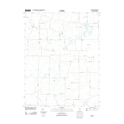
2012 Map of Walsh
USGS Topo · Published 2012About this map
The agrarian landscape of Randolph County in 2012 is centered on the small settlements of Preston, Walsh, and Schuline. The terrain is defined by a dense network of creek systems, including Plum Cr, Butter Cr, and the winding Ninemile Cr that cuts across the southern portion of the quadrangle. For genealogists and local historians, the area is well-preserved with several family and community burial grounds, such as the Preston Cem, Lively Cem, and Hughes Cem. The road network often follows section lines or the natural contours of the drainages, with family names appearing on local thoroughfares like Hayer Hill Rd and Dethrow Rd. Modern infrastructure is represented by the Korando Airport and Langford Pond, while Saint Pius Cem marks a spiritual center in the western portion of this Illinois rural survey.
Find a feature on this map
70 named features on this map. Tap any name to fly to it.
Don’t see what you’re looking for? This feature index may not catch every label — zoom into the map to look around manually.
Map Details
Editions of this 2012 Walsh Map
This is the sole edition of this map. No revisions or reprints were ever made.
Other maps of this area

1912 · Baldwin
USGS Topo · 1:62,500

1914 · Baldwin
USGS Topo · 1:62,500

1914 · Coulterville
USGS Topo · 1:62,500

1915 · Chester
USGS Topo · 1:62,500

1916 · Campbell Hill
USGS Topo · 1:62,500

1917 · Coulterville
USGS Topo · 1:62,500

1918 · Campbell Hill
USGS Topo · 1:62,500

1942 · Baldwin
USGS Topo · 1:62,500

1947 · Chester
USGS Topo · 1:62,500

1949 · Paducah
USGS Topo · 1:250,000