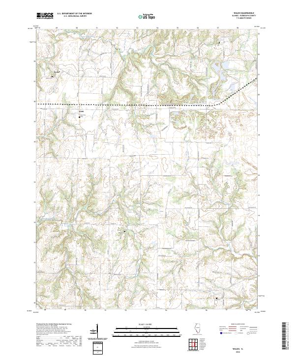
2024 Map of Walsh
USGS Topo · Published 2024About this map
Preston and Walsh anchor this rural landscape in Randolph County, where agricultural patterns are defined by a network of local creeks and family-named roads. The terrain is deeply carved by water, with Little Plum Creek flowing through the northern reaches and the drainage of Ninemile Creek and Welge Creek shaping the southern half. This 2024 survey captures a quiet, enduring rural geography where land use is still oriented around these natural drainages and traditional crossroads.
Find a feature on this map
61 named features on this map. Tap any name to fly to it.
Don’t see what you’re looking for? This feature index may not catch every label — zoom into the map to look around manually.
Map Details
Editions of this 2024 Walsh Map
This is the sole edition of this map. No revisions or reprints were ever made.
Other maps of this area

1912 · Baldwin
USGS Topo · 1:62,500

1914 · Baldwin
USGS Topo · 1:62,500

1914 · Coulterville
USGS Topo · 1:62,500

1915 · Chester
USGS Topo · 1:62,500

1916 · Campbell Hill
USGS Topo · 1:62,500

1917 · Coulterville
USGS Topo · 1:62,500

1918 · Campbell Hill
USGS Topo · 1:62,500

1942 · Baldwin
USGS Topo · 1:62,500

1947 · Chester
USGS Topo · 1:62,500

1949 · Paducah
USGS Topo · 1:250,000