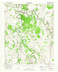
1950 Map of Walterhill
USGS Topo · Published 1966About this map
The East Fork Stones River and West Fork Stones River wind through this mid-century Rutherford County landscape, meeting near the historic settlement of Old Jefferson. This survey preserves the rural character of the region before the creation of Percy Priest Lake, showing the original riverbanks and local landmarks like the Jefferson Springs Sch and Waller Cem. To the south, the map details a significant portion of the Stones River National Military Park, marking the hallowed ground of the Civil War battlefield alongside contemporary 1950s infrastructure.
Find a feature on this map
43 named features on this map. Tap any name to fly to it.
Don’t see what you’re looking for? This feature index may not catch every label — zoom into the map to look around manually.
Map Details
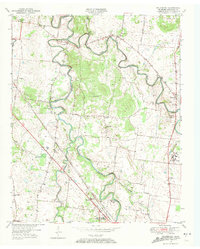
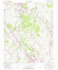
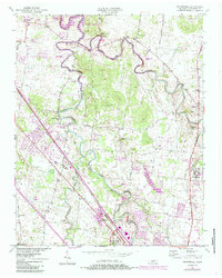
Editions of this 1950 Walterhill Map
5 editions found
Other maps of this area

1903 · Nashville
USGS Topo · 1:125,000

1916 · Murfreesboro
USGS Topo · 1:62,500

1932 · Hermitage
USGS Topo · 1:62,500

1942 · Lebanon
USGS Topo · 1:100,000

1950 · Walterhill
USGS Topo · 1:24,000

1950 · Murfreesboro
USGS Topo · 1:24,000

1952 · La Vergne
USGS Topo · 1:24,000

1956 · Vine
USGS Topo · 1:24,000

1956 · Dillton
USGS Topo · 1:24,000

1956 · Gladeville
USGS Topo · 1:24,000