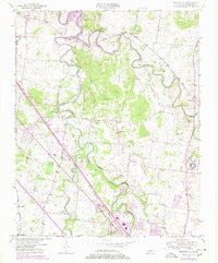
1950 Map of Walterhill
USGS Topo · Published 1977About this map
The Stones River National Battlefield occupies a significant portion of this landscape, marking the historic Civil War grounds just north of the Murfreesboro Municipal Airport. The survey illustrates the complex geography where the East Fork Stones River and West Fork Stones River converge to form the main stem of the Stones River, now reaching into the backwaters of J Percy Priest Lake. Rural life is centered around scattered crossroads like Old Jefferson, Florence, and Walterhill, connected by historic transit routes such as the Louisville and Nashville railroad and Jefferson Pike. Family and community history is preserved in localized labels for the Silver Springs Cem, Jerusalem Ch, and Bethel Sch, while the presence of the U S Veterans Hospital signals the institutional development of the mid-20th century.
Find a feature on this map
40 named features on this map. Tap any name to fly to it.
Don’t see what you’re looking for? This feature index may not catch every label — zoom into the map to look around manually.
Map Details
Editions of this 1950 Walterhill Map
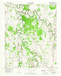
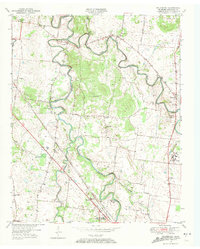
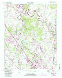
5 editions found
Other maps of this area

1903 · Nashville
USGS Topo · 1:125,000

1916 · Murfreesboro
USGS Topo · 1:62,500

1932 · Hermitage
USGS Topo · 1:62,500

1942 · Lebanon
USGS Topo · 1:100,000

1950 · Walterhill
USGS Topo · 1:24,000

1950 · Murfreesboro
USGS Topo · 1:24,000

1952 · La Vergne
USGS Topo · 1:24,000

1956 · Vine
USGS Topo · 1:24,000

1956 · Dillton
USGS Topo · 1:24,000

1956 · Gladeville
USGS Topo · 1:24,000