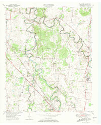
1950 Map of Walterhill
USGS Topo · Published 1972About this map
The confluence of the East Fork Stones River and West Fork Stones River anchors this central Tennessee landscape during the mid-twentieth century. The region is defined by a dense network of pikes and river crossings, including Jefferson Pike and Lebanon Pike, which connect established communities like Old Jefferson and Walterhill. Evidence of the area's significance to military and civic history is prominent, from the Stones River National Military Park in the south to the Smyrna Army Air Field on the northwestern edge. A strong rural infrastructure is visible through numerous community anchors, including Hickory Grove Ch, Bethel Sch, and the U S Veterans Hospital. The Nashville Chattanooga and St Louis Railway cuts through the southwest, running parallel to Overall Creek and serving the village of Florence.
Find a feature on this map
46 named features on this map. Tap any name to fly to it.
Don’t see what you’re looking for? This feature index may not catch every label — zoom into the map to look around manually.
Map Details
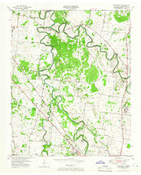
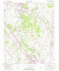
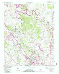
Editions of this 1950 Walterhill Map
5 editions found
Other maps of this area

1903 · Nashville
USGS Topo · 1:125,000

1916 · Murfreesboro
USGS Topo · 1:62,500

1932 · Hermitage
USGS Topo · 1:62,500

1942 · Lebanon
USGS Topo · 1:100,000

1950 · Walterhill
USGS Topo · 1:24,000

1950 · Murfreesboro
USGS Topo · 1:24,000

1952 · La Vergne
USGS Topo · 1:24,000

1956 · Vine
USGS Topo · 1:24,000

1956 · Dillton
USGS Topo · 1:24,000

1956 · Gladeville
USGS Topo · 1:24,000