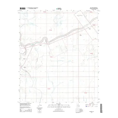
2015 Map of Walters
USGS Topo · Published 2015About this map
Little River winds through the heart of this Louisiana landscape, serving as a primary corridor for small settlements like Archie, Lavacco, and Utility. This region of Catahoula Parish is defined by a dense network of slow-moving waterways and wetland features such as Mayo Brake, Hogpen Slough, and Honey Brake Bayou. The land use is heavily influenced by the seasonal hydrology of Catahoula Lake, which borders the western edge of the survey area. Local heritage is preserved in sites like Old Mount Olive Cem and Young Cem, while rural roads such as French Fork Rd and Big Bayou Rd connect the scattered homesteads. The topography is exceptionally flat, characteristic of the alluvial plains where Big Bayou and Hibbs Bayou branch across the territory.
Find a feature on this map
44 named features on this map. Tap any name to fly to it.
Don’t see what you’re looking for? This feature index may not catch every label — zoom into the map to look around manually.
Map Details
Editions of this 2015 Walters Map
This is the sole edition of this map. No revisions or reprints were ever made.
Other maps of this area

1935 · Tooleys
USGS Topo · 1:62,500

1941 · Manifest
USGS Topo · 1:62,500

1941 · Jena
USGS Topo · 1:62,500

1941 · Buckeye
USGS Topo · 1:62,500

1941 · Tooleys
USGS Topo · 1:62,500

1953 · Alexandria
USGS Topo · 1:250,000

1953 · Natchez
USGS Topo · 1:250,000

1955 · Alexandria
USGS Topo · 1:250,000

1956 · Natchez
USGS Topo · 1:250,000

1958 · Jena
USGS Topo · 1:62,500