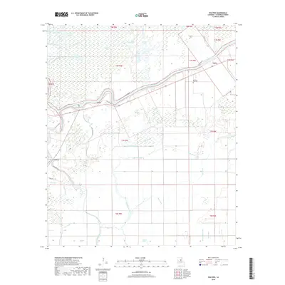
2018 Map of Walters
USGS Topo · Published 2018About this map
Little River defines the landscape of this portion of Catahoula Parish, winding through a complex system of bottomlands and backwaters. The terrain is a labyrinth of interconnected waterways, where Hibbs Bayou and Elm Slough traverse the low-lying areas. The settlement pattern is largely tied to the high ground near the river and primary roads, with small communities like Walters, Archie, and Utility established as focal points for local life.
Find a feature on this map
46 named features on this map. Tap any name to fly to it.
Don’t see what you’re looking for? This feature index may not catch every label — zoom into the map to look around manually.
Map Details
Editions of this 2018 Walters Map
This is the sole edition of this map. No revisions or reprints were ever made.
Other maps of this area

1935 · Tooleys
USGS Topo · 1:62,500

1941 · Manifest
USGS Topo · 1:62,500

1941 · Jena
USGS Topo · 1:62,500

1941 · Buckeye
USGS Topo · 1:62,500

1941 · Tooleys
USGS Topo · 1:62,500

1953 · Alexandria
USGS Topo · 1:250,000

1953 · Natchez
USGS Topo · 1:250,000

1955 · Alexandria
USGS Topo · 1:250,000

1956 · Natchez
USGS Topo · 1:250,000

1958 · Jena
USGS Topo · 1:62,500