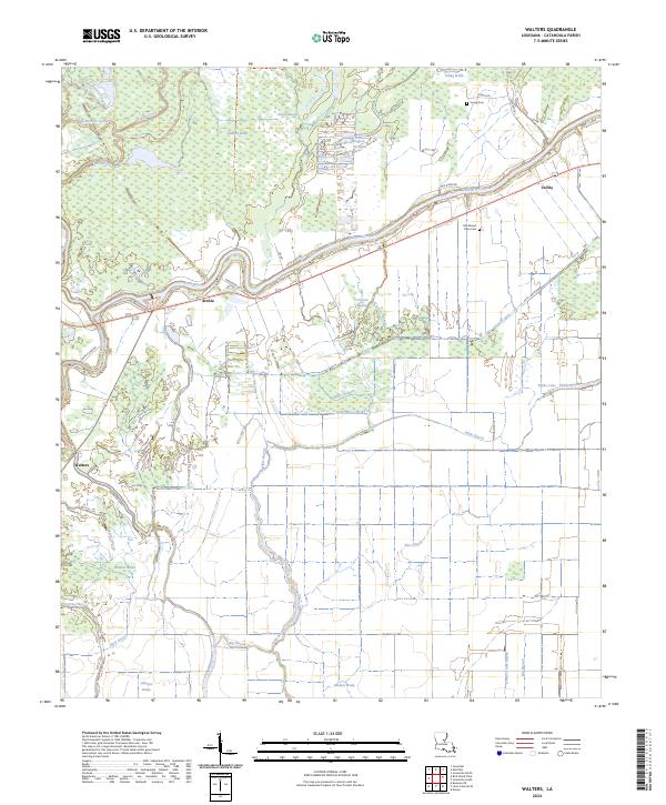
2024 Map of Walters
USGS Topo · Published 2024About this map
Catahoula National Wildlife Refuge dominates the northwestern reaches of this terrain, where the Little River meanders through a complex network of seasonal wetlands and low-lying brakes. Small settlements like Archie, Walters, and Utility are linked by rural corridors such as Little River Rd and State Rte 923, tracing the high ground between the river and the expansive bottomlands. The landscape is defined by its hydrography, featuring numerous brakes and sloughs such as Gillespie Brake, Boatner Brake, and Hogpen Slough. These features suggest a region historically shaped by the shifting hydrology of the river system, supporting a mix of conservation land and isolated homesteads. Genealogical interest is centered on sites like Old Mount Olive Cem and Young Cem, which provide tangible connections to the families who settled this corner of Louisiana.
Find a feature on this map
43 named features on this map. Tap any name to fly to it.
Don’t see what you’re looking for? This feature index may not catch every label — zoom into the map to look around manually.
Map Details
Editions of this 2024 Walters Map
This is the sole edition of this map. No revisions or reprints were ever made.
Other maps of this area

1935 · Tooleys
USGS Topo · 1:62,500

1941 · Manifest
USGS Topo · 1:62,500

1941 · Jena
USGS Topo · 1:62,500

1941 · Buckeye
USGS Topo · 1:62,500

1941 · Tooleys
USGS Topo · 1:62,500

1953 · Alexandria
USGS Topo · 1:250,000

1953 · Natchez
USGS Topo · 1:250,000

1955 · Alexandria
USGS Topo · 1:250,000

1956 · Natchez
USGS Topo · 1:250,000

1958 · Jena
USGS Topo · 1:62,500