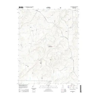
2015 Map of Waltersburg
USGS Topo · Published 2015About this map
The Shawnee National Forest encompasses much of this Pope County landscape, where the Illinois hills are deeply incised by the drainage basins of Lusk Cr and its many tributaries. Settlement patterns are defined by small crossroads and family-named landmarks, such as Eddyville in the north and Waltersburg in the south. The area is dense with historical burial sites, including the New Liberty Cem, Old Home Cem, and Sulphur Springs Cem, which offer significant genealogical value for researchers of southern Illinois. Roads like Eddyville Rd and Waltersburg Rd connect these rural outposts through a terrain of named hollows like Reddick Hollow and Pine Hollow. The map captures a moment of late-twentieth-century rural continuity, where traditional place names like Rising Sun and Raum persist alongside the protected forest lands.
Find a feature on this map
49 named features on this map. Tap any name to fly to it.
Don’t see what you’re looking for? This feature index may not catch every label — zoom into the map to look around manually.
Map Details
Editions of this 2015 Waltersburg Map
This is the sole edition of this map. No revisions or reprints were ever made.
Other maps of this area

1916 · Golconda
USGS Topo · 1:62,500

1916 · Equality
USGS Topo · 1:62,500

1917 · Brownfield
USGS Topo · 1:62,500

1920 · Goloonda
USGS Topo · 1:48,000

1921 · Golconda
USGS Topo · 1:62,500

1925 · Harrisburg
USGS Topo · 1:62,500

1939 · Harrisburg
USGS Topo · 1:62,500

1949 · Paducah
USGS Topo · 1:250,000

1950 · Paducah
USGS Topo · 1:250,000

1954 · Paducah
USGS Topo · 1:250,000