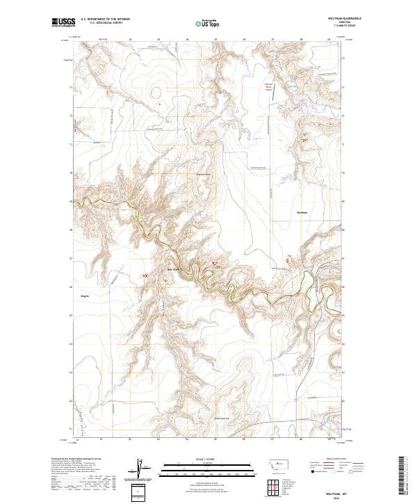
2024 Map of Waltham
USGS Topo · Published 2024About this map
Belt Creek carves a deep, winding path through the heart of this central Montana landscape, marking the jagged boundary between Cascade and Chouteau counties. The terrain is defined by a complex network of seasonal drainages and coulees, including Widow Coulee, Hower Coulee, and Tueverson Coulee, which cut through the high plains. Human activity is sparse and centered on agricultural ranching, as evidenced by the namesake settlement of Waltham and the private Peterson Ranch Airport. Prominent geological landmarks like Shepherd Butte and Rattlesnake Hill rise above the surrounding flats, serving as navigational anchors for travelers along historic routes like Waltham Rd and Highwood Rd. The map also captures smaller locales such as Rogers, situated near the head of Rogers Coulee, providing a clear look at the contemporary rural road grid and land management divisions.
Find a feature on this map
33 named features on this map. Tap any name to fly to it.
Don’t see what you’re looking for? This feature index may not catch every label — zoom into the map to look around manually.
Map Details
Editions of this 2024 Waltham Map
This is the sole edition of this map. No revisions or reprints were ever made.
Other maps of this area

1886 · Great Falls
USGS Topo · 1:250,000

1890 · Fort Benton
USGS Topo · 1:250,000

1892 · Fort Benton
USGS Topo · 1:250,000

1897 · Fort Benton
USGS Topo · 1:250,000

1948 · Portage
USGS Topo · 1:62,500

1949 · Portage
USGS Topo · 1:62,500

1954 · Great Falls
USGS Topo · 1:250,000

1954 · Rice Reservoir
USGS Topo · 1:24,000

1954 · Lander Crossing
USGS Topo · 1:24,000

1954 · Waltham
USGS Topo · 1:24,000