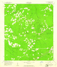
1958 Map of Walthourville
USGS Topo · Published 1961About this map
Walthourville and the surrounding piney lowlands of the Georgia coastal plain are dominated by the extensive Fort Stewart Military Reservation, which occupies the northern and eastern portions of this late-1950s survey. The landscape is a network of slow-moving waterways including Horse Creek, Tennessee Branch, and Zorn Island Branch, all draining toward the large Terrells Millpond. The settlement pattern follows the Atlantic Coast Line railroad in the south and the small community of Gum Branch in the northwest, linked by a series of rural churches and cemeteries that mark the area's social geography.
Find a feature on this map
27 named features on this map. Tap any name to fly to it.
Don’t see what you’re looking for? This feature index may not catch every label — zoom into the map to look around manually.
Map Details
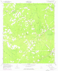
Editions of this 1958 Walthourville Map
2 editions found
Other maps of this area

1918 · Jesup
USGS Topo · 1:62,500

1918 · Hinesville
USGS Topo · 1:62,500

1920 · Glennville
USGS Topo · 1:62,500

1943 · Ludowici
USGS Topo · 1:62,500

1943 · Jesup
USGS Topo · 1:62,500

1944 · Glennville
USGS Topo · 1:62,500

1944 · Hinesville
USGS Topo · 1:62,500

1946 · Brunswick
USGS Topo · 1:250,000

1948 · Brunswick
USGS Topo · 1:250,000

1950 · Glennville
USGS Topo · 1:62,500