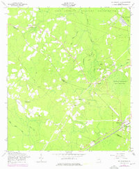
1958 Map of Walthourville
USGS Topo · Published 1976About this map
Walthourville serves as a focal point in the southeast corner of this coastal plain landscape, situated along the Seaboard Coast Line railroad. The map illustrates a rural Georgia community defined by its watercourses and small settlements, including Elim and Gum Branch. Extensive military activity is evident to the north within the Fort Stewart Military Reservation, where the terrain transitions from managed forest to established military grounds.
Find a feature on this map
30 named features on this map. Tap any name to fly to it.
Don’t see what you’re looking for? This feature index may not catch every label — zoom into the map to look around manually.
Map Details
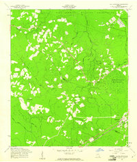
Editions of this 1958 Walthourville Map
2 editions found
Other maps of this area

1918 · Jesup
USGS Topo · 1:62,500

1918 · Hinesville
USGS Topo · 1:62,500

1920 · Glennville
USGS Topo · 1:62,500

1943 · Ludowici
USGS Topo · 1:62,500

1943 · Jesup
USGS Topo · 1:62,500

1944 · Glennville
USGS Topo · 1:62,500

1944 · Hinesville
USGS Topo · 1:62,500

1946 · Brunswick
USGS Topo · 1:250,000

1948 · Brunswick
USGS Topo · 1:250,000

1950 · Glennville
USGS Topo · 1:62,500