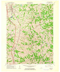
1961 Map of Walton
USGS Topo · Published 1962About this map
Walton and its surrounding farming communities are captured here in 1961, situated at the converging corners of Boone, Kenton, and Pendleton counties. The landscape is defined by the Southern railroad corridor and a dense network of local thoroughfares such as Stephenson Mill Road and Nashville Road. Small settlements like Bracht, Piner, and Fiskburg are linked by these winding routes, reflecting a rural society built on family farmsteads and local church congregations.
Find a feature on this map
56 named features on this map. Tap any name to fly to it.
Don’t see what you’re looking for? This feature index may not catch every label — zoom into the map to look around manually.
Map Details
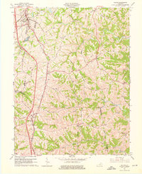
Editions of this 1961 Walton Map
2 editions found
Other maps of this area

1929 · Alexandria
USGS Topo · 1:48,000

1930 · Falmouth
USGS Topo · 1:48,000

1936 · Alexandria
USGS Topo · 1:62,500

1936 · Falmouth
USGS Topo · 1:62,500

1950 · Elliston
USGS Topo · 1:24,000

1950 · Union
USGS Topo · 1:24,000

1950 · Williamstown
USGS Topo · 1:24,000

1950 · Independence
USGS Topo · 1:24,000

1950 · Verona
USGS Topo · 1:24,000

1950 · Walton
USGS Topo · 1:24,000