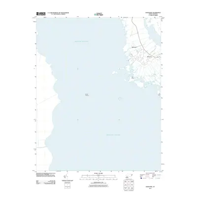
2011 Map of Wanchese
USGS Topo · Published 2011About this map
Croatan Sound dominates this coastal landscape on the southern end of Roanoke Island, where the water defines the local economy and geography. The fishing village of Wanchese is the primary hub, showing a dense grid of local roads and water access points characteristic of its maritime heritage. Just to the north, Baumtown sits along the roadway, illustrating the linear development typical of this portion of the Outer Banks.
Find a feature on this map
7 named features on this map. Tap any name to fly to it.
Don’t see what you’re looking for? This feature index may not catch every label — zoom into the map to look around manually.
Map Details
Editions of this 2011 Wanchese Map
This is the sole edition of this map. No revisions or reprints were ever made.
Other maps of this area

1943 · Roanoke Island
USGS Topo · 1:125,000

1953 · Wanchese
USGS Topo · 1:24,000

1953 · Roanoke Island NE
USGS Topo · 1:24,000

1953 · Stumpy Point
USGS Topo · 1:24,000

1953 · Manteo
USGS Topo · 1:24,000

1953 · East Lake SE
USGS Topo · 1:24,000

1953 · Manns Harbor
USGS Topo · 1:24,000

1953 · Engelhard NE
USGS Topo · 1:24,000

1955 · Wanchese
USGS Topo · 1:250,000

1957 · Manteo
USGS Topo · 1:250,000