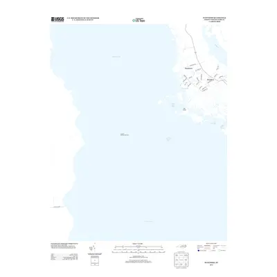
2013 Map of Wanchese
USGS Topo · Published 2013About this map
Roanoke Marshes Lighthouse stands as a lonely sentinel amidst the vast waters of Croatan Sound and Pamlico Sound, marking the maritime gateway of Roanoke Island. The eastern edge of this coastal landscape is dominated by the fishing and maritime settlements of Wanchese and Baumtown. The road network reveals a deep connection to the water, with names like Old Wharf Rd and Davis Lndg hinting at the local importance of boat access and shore-side industry. The complex wetland geography of the Dare County coast is mapped in detail, showing the intricate tidal inlets and channels such as Oyster Creek, the Cut Through, and Broad Cr. This survey illustrates the 2013 balance between small residential communities and the expansive estuarine environment of the Outer Banks.
Find a feature on this map
29 named features on this map. Tap any name to fly to it.
Don’t see what you’re looking for? This feature index may not catch every label — zoom into the map to look around manually.
Map Details
Editions of this 2013 Wanchese Map
This is the sole edition of this map. No revisions or reprints were ever made.
Other maps of this area

1943 · Roanoke Island
USGS Topo · 1:125,000

1953 · Wanchese
USGS Topo · 1:24,000

1953 · Roanoke Island NE
USGS Topo · 1:24,000

1953 · Stumpy Point
USGS Topo · 1:24,000

1953 · Manteo
USGS Topo · 1:24,000

1953 · East Lake SE
USGS Topo · 1:24,000

1953 · Manns Harbor
USGS Topo · 1:24,000

1953 · Engelhard NE
USGS Topo · 1:24,000

1955 · Wanchese
USGS Topo · 1:250,000

1957 · Manteo
USGS Topo · 1:250,000