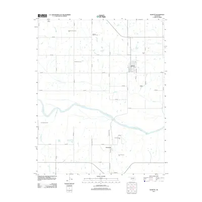
2012 Map of Wanette
USGS Topo · Published 2012About this map
The Canadian River cuts a wide, braided path across this landscape, defining the southern boundary of the Wanette area. This 2012 survey illustrates a region where rural industry and traditional settlements coexist. The town of Wanette serves as a central hub, surrounded by a dense network of petroleum extraction sites including the Wanette Oil Field, Northwest Wanette Oil Field, and West Wanette Oil Field. These fields suggest a landscape defined by its subterranean resources as much as its surface topography.
Find a feature on this map
48 named features on this map. Tap any name to fly to it.
Don’t see what you’re looking for? This feature index may not catch every label — zoom into the map to look around manually.
Map Details
Editions of this 2012 Wanette Map
This is the sole edition of this map. No revisions or reprints were ever made.
Other maps of this area

1896 · Seminole and Prague
USGS Topo · 1:125,000

1898 · Purcell
USGS Topo · 1:125,000

1898 · Pauls Valley
USGS Topo · 1:125,000

1901 · Stonewall
USGS Topo · 1:125,000

1902 · Pauls Valley
USGS Topo · 1:125,000

1907 · Maud
USGS Topo · 1:62,500

1908 · Maud
USGS Topo · 1:62,500

1910 · McComb
USGS Topo · 1:62,500

1954 · Oklahoma City
USGS Topo · 1:250,000

1957 · Ardmore
USGS Topo · 1:250,000