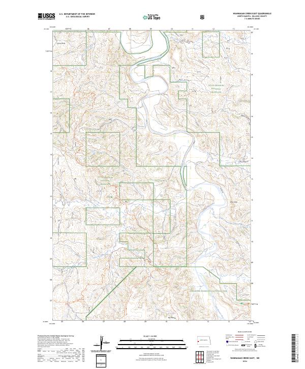
2024 Map of Wannagan Creek East
USGS Topo · Published 2024About this map
The Little Missouri River carves a winding path through this western North Dakota landscape, anchoring a complex of protected public lands within the Little Missouri National Grassland. To the south, the terrain transitions into the Theodore Roosevelt National Park and the preserved Theodore Roosevelt Wilderness, where the Big Plateau stands as a prominent topographical feature. The map reveals an extensive network of back-country routes, including the Maah Daah Hey Trl and the North Petrified Forest Trl, which navigate the eroded breaks and coulees characteristic of the Badlands. Dozens of drainage systems like Wannagan Creek, Ash Coulee, and Franks Creek illustrate the intense natural erosion that has shaped this region, providing a detailed look at the drainage patterns that define the local geography away from the primary river valley.
Find a feature on this map
26 named features on this map. Tap any name to fly to it.
Don’t see what you’re looking for? This feature index may not catch every label — zoom into the map to look around manually.
Map Details
Editions of this 2024 Wannagan Creek East Map
This is the sole edition of this map. No revisions or reprints were ever made.
Other maps of this area

1953 · Dickinson
USGS Topo · 1:250,000

1953 · Watford City
USGS Topo · 1:250,000

1957 · Dickinson
USGS Topo · 1:250,000

1957 · Watford City
USGS Topo · 1:250,000

1962 · Fryburg NW
USGS Topo · 1:24,000

1963 · Gorham SW
USGS Topo · 1:24,000

1963 · Gorham NW
USGS Topo · 1:24,000

1967 · Watford City
USGS Topo · 1:250,000

1970 · Wannagan Creek East
USGS Topo · 1:24,000

1970 · Roosevelt Creek East
USGS Topo · 1:24,000