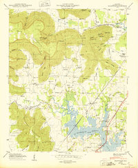
1950 Map of Wannville
USGS Topo · Published 1950About this map
Guntersville Reservoir dominates the lowlands of this Jackson County landscape, its rising waters shaping the rural economy just after the completion of the TVA project. The terrain is defined by the sharp rise of Crow Mountain and Poorhouse Mountain, where numerous hollows and coves like Carns Cove and Hammon Hollow dictated the placement of small family settlements and homesteads. The Southern railroad line threads through the valley, connecting the communities of Fackler and Wannville to the regional trade network.
Find a feature on this map
74 named features on this map. Tap any name to fly to it.
Don’t see what you’re looking for? This feature index may not catch every label — zoom into the map to look around manually.
Map Details
Editions of this 1950 Wannville Map
2 editions found
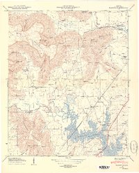
Other maps of this area

1886 · Stevenson
USGS Topo · 1:125,000

1888 · Scottsboro
USGS Topo · 1:125,000

1892 · Scottsboro
USGS Topo · 1:125,000

1892 · Stevenson
USGS Topo · 1:125,000

1895 · Stevenson
USGS Topo · 1:125,000

1936 · Scottsboro
USGS Topo · 1:24,000

1936 · Wannville
USGS Topo · 1:24,000

1936 · Mud Creek
USGS Topo · 1:24,000

1936 · Hytop
USGS Topo · 1:24,000

1936 · Hollywood
USGS Topo · 1:24,000