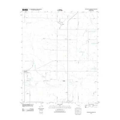
2012 Map of Wapanucka North
USGS Topo · Published 2012About this map
Clarita and Bromide serve as the primary nodes of settlement in this part of Johnston County, reflecting a landscape defined by small-town grids and an extensive network of water management. The area is characterized by numerous flood control structures and reservoirs, such as Upper Clear Boggy Cr Site 10 Reservoir and the Leader Middle Clear Boggy Creek 1 Reservoir, which dominate the drainage basins of Delaware Cr and Sandy Cr.
Find a feature on this map
62 named features on this map. Tap any name to fly to it.
Don’t see what you’re looking for? This feature index may not catch every label — zoom into the map to look around manually.
Map Details
Editions of this 2012 Wapanucka North Map
This is the sole edition of this map. No revisions or reprints were ever made.
Other maps of this area

1896 · Coalgate
USGS Topo · 1:125,000

1899 · Coalgate
USGS Topo · 1:125,000

1899 · Atoka
USGS Topo · 1:125,000

1900 · Atoka
USGS Topo · 1:125,000

1900 · Coalgate
USGS Topo · 1:125,000

1901 · Stonewall
USGS Topo · 1:125,000

1901 · Tishomingo
USGS Topo · 1:125,000

1957 · Centrahoma
USGS Topo · 1:24,000

1957 · Ardmore
USGS Topo · 1:250,000

1963 · Ardmore
USGS Topo · 1:250,000