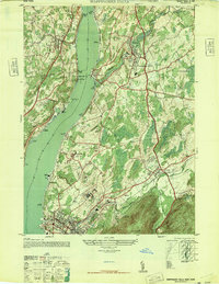
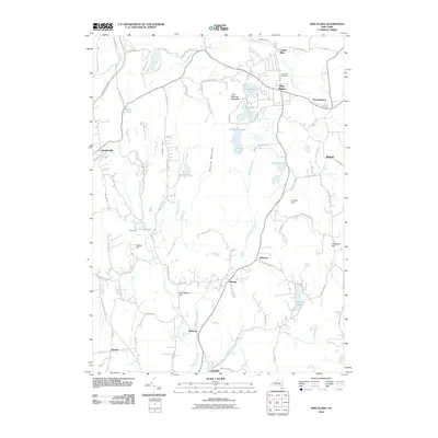
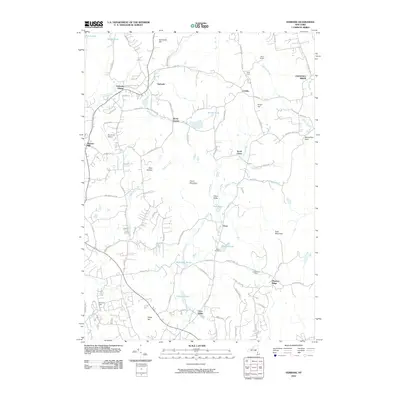
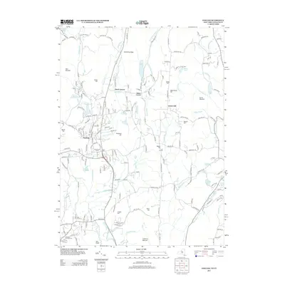
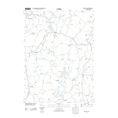
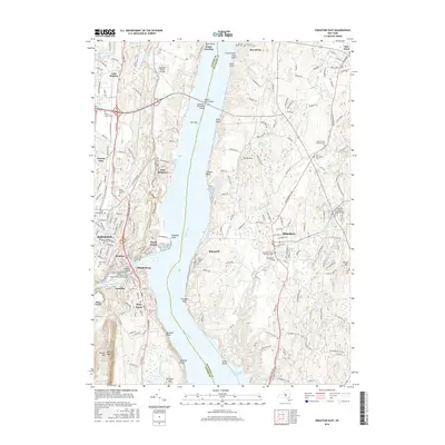
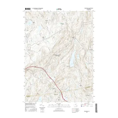
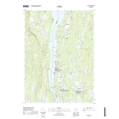
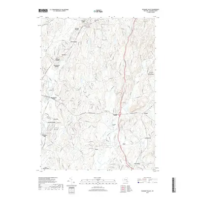
1947 Map of Wappinger Falls
USGS Topo · Published 1947About this map
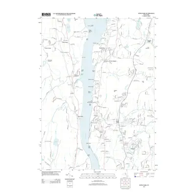
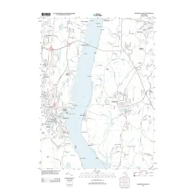
The Hudson River serves as the central artery for this mid-century survey, dividing Orange and Dutchess counties while connecting industrial and residential hubs. On the eastern shore, the transition from the concentrated urban grid of Beacon to the smaller riverside settlements like Chelsea and New Hamburg is clearly visible. The landscape is defined by its significant institutional presence, notably the sprawling grounds of the Matteawan State Hospital and the US Veterans Hospital at Castle Point.
Find a feature on this map
49 named features on this map. Tap any name to fly to it.
Don’t see what you’re looking for? This feature index may not catch every label — zoom into the map to look around manually.
Map Details
Editions of this 1947 Wappinger Falls Map
2 editions found
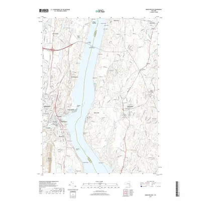
Historical Maps of Poughkeepsie Through Time
69 maps found

1893 Clove
Dutchess County, NY

1894 Clove
Dutchess County, NY

1898 Clove
Dutchess County, NY

1898 Rhinebeck
Dutchess County, NY

1901 Clove
Dutchess County, NY

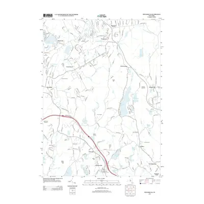
1934 Rhinebeck
Dutchess County, NY

1939 Rhinebeck
Dutchess County, NY

1945 Pawling
Dutchess County, NY

1946 Verbank
Dutchess County, NY

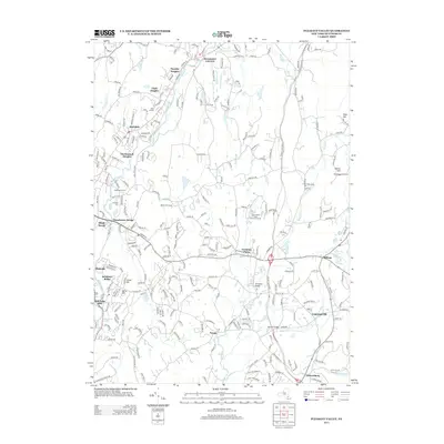
1947 Pawling
Dutchess County, NY

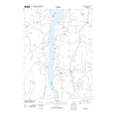
1947 Wappinger Falls
Dutchess County, NY

1948 Pine Plains
Dutchess County, NY

1948 Poughquag
Dutchess County, NY

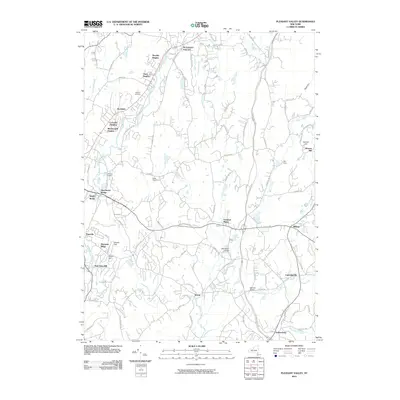
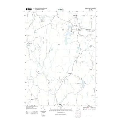
1957 Pleasant Valley
Dutchess County, NY

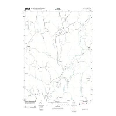
1958 Amenia
Dutchess County, NY

1958 Pawling
Dutchess County, NY

1960 Pine Plains
Dutchess County, NY

1960 Poughquag
Dutchess County, NY

1960 Verbank
Dutchess County, NY

1963 Hyde Park
Dutchess County, NY

1963 Kingston East
Dutchess County, NY

1963 Rock City
Dutchess County, NY

1980 Hyde Park
Dutchess County, NY

1998 Pawling
Dutchess County, NY

2010 Amenia
Dutchess County, NY
2010 Hyde Park
Dutchess County, NY
2010 Kingston East
Dutchess County, NY
2010 Pawling
Dutchess County, NY
2010 Pine Plains
Dutchess County, NY
2010 Pleasant Valley
Dutchess County, NY
2010 Poughquag
Dutchess County, NY
2010 Rock City
Dutchess County, NY
2010 Verbank
Dutchess County, NY
2013 Amenia
Dutchess County, NY
2013 Hyde Park
Dutchess County, NY
2013 Kingston East
Dutchess County, NY
2013 Pawling
Dutchess County, NY
2013 Pine Plains
Dutchess County, NY
2013 Pleasant Valley
Dutchess County, NY
2013 Poughquag
Dutchess County, NY
2013 Rock City
Dutchess County, NY
2013 Verbank
Dutchess County, NY
2016 Amenia
Dutchess County, NY
2016 Hyde Park
Dutchess County, NY
2016 Kingston East
Dutchess County, NY
2016 Pawling
Dutchess County, NY
2016 Pine Plains
Dutchess County, NY
2016 Pleasant Valley
Dutchess County, NY
2016 Poughquag
Dutchess County, NY
2016 Rock City
Dutchess County, NY
2016 Verbank
Dutchess County, NY
2019 Amenia
Dutchess County, NY
2019 Hyde Park
Dutchess County, NY
2019 Kingston East
Dutchess County, NY
2019 Pawling
Dutchess County, NY
2019 Pine Plains
Dutchess County, NY
2019 Pleasant Valley
Dutchess County, NY
2019 Poughquag
Dutchess County, NY
2019 Rock City
Dutchess County, NY
2019 Verbank
Dutchess County, NY

2023 Amenia
Dutchess County, NY

2023 Hyde Park
Dutchess County, NY

2023 Kingston East
Dutchess County, NY

2023 Pawling
Dutchess County, NY

2023 Pine Plains
Dutchess County, NY

2023 Pleasant Valley
Dutchess County, NY

2023 Poughquag
Dutchess County, NY

2023 Rock City
Dutchess County, NY

2023 Verbank
Dutchess County, NY