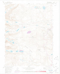
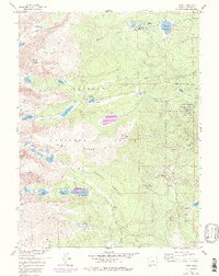
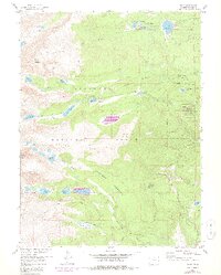
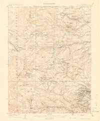
1957 Map of Ward
USGS Topo · Published 1972About this map
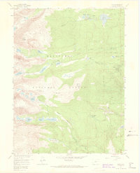
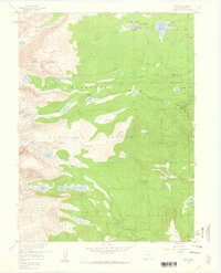
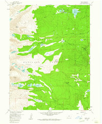
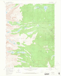
Ward stands as the primary settlement on this 1957 survey of the high Front Range, surrounded by the high-elevation peaks and glacial features of the Roosevelt National Forest. The landscape is defined by its water management and recreational history, featuring the Boulder City Aqueduct and numerous glacial basins such as Silver Lake, Lake Albion, and the Triple Lakes. The map documents a transition from mining era remnants to mid-century academic and recreational use, notably at the University of Colorado Camp and several mountain lodges like Stapp Lakes Lodge and Camp Audubon. Sharp topographic features like the Arapaho Moraine and Niwot Ridge provide a clear view of the area's geological character, while various trails, including the Pawnee Pass Trail and Mitchell Lake Trail, indicate the region's established network for alpine exploration.
Find a feature on this map
53 named features on this map. Tap any name to fly to it.
Don’t see what you’re looking for? This feature index may not catch every label — zoom into the map to look around manually.
Map Details
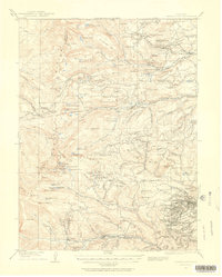
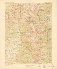
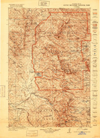
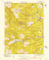
Editions of this 1957 Ward Map
7 editions found
Other maps of this area

1899 · West Denver
USGS Topo · 1:125,000

1902 · Boulder
USGS Topo · 1:62,500

1904 · Boulder
USGS Topo · 1:62,500

1905 · Central City
USGS Topo · 1:62,500

1906 · Blackhawk
USGS Topo · 1:62,500
1910 · Central City
USGS Topo · 1:62,500
1912 · Central City
USGS Topo · 1:62,500
1915 · Longs Peak
USGS Topo · 1:125,000
1919 · Rocky Mountain National Park
USGS Topo · 1:125,000
1942 · Nederland
USGS Topo · 1:24,000