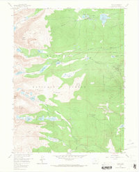
1957 Map of Ward
USGS Topo · Published 1965About this map
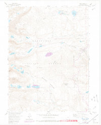
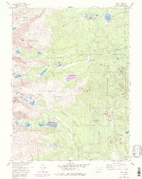
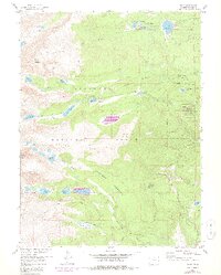
Ward stands as the primary settlement on this eastern slope of the Front Range, surrounded by the high-elevation terrain of the Roosevelt National Forest. During the mid-1950s, the area supported a network of recreational and educational outposts, including Stapp Lakes Lodge, Camp Audubon, and the University of Colorado Camp located near Fourmile Creek. The landscape is defined by its glacial heritage, clearly marked by the Arapaho Moraine and numerous alpine water bodies such as Silver Lake and Lake Isabelle. Extensive trail systems like the Buchanan Pass Trail and Niwot Ridge Trail indicate the region's importance for early backcountry access. Local infrastructure is evidenced by the Boulder City Aqueduct and several gauging stations, while the presence of a Peat Bog near Brainard Lake highlights specific localized ecological features noted by surveyors during this period.
Find a feature on this map
52 named features on this map. Tap any name to fly to it.
Don’t see what you’re looking for? This feature index may not catch every label — zoom into the map to look around manually.
Map Details
Editions of this 1957 Ward Map
7 editions found
Other maps of this area

1899 · West Denver
USGS Topo · 1:125,000

1902 · Boulder
USGS Topo · 1:62,500

1904 · Boulder
USGS Topo · 1:62,500

1905 · Central City
USGS Topo · 1:62,500

1906 · Blackhawk
USGS Topo · 1:62,500

1910 · Central City
USGS Topo · 1:62,500

1912 · Central City
USGS Topo · 1:62,500

1915 · Longs Peak
USGS Topo · 1:125,000

1919 · Rocky Mountain National Park
USGS Topo · 1:125,000

1942 · Nederland
USGS Topo · 1:24,000