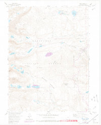
1957 Map of Ward
USGS Topo · Published 1978About this map
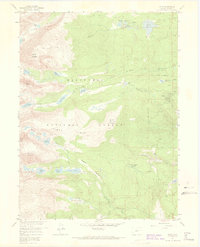
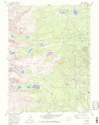
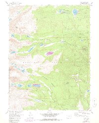
The town of Ward stands as the primary settlement in this high-altitude landscape, situated where the terrain begins its steep ascent toward the Continental Divide. This area is defined by the overlap of the Roosevelt National Forest and Arapaho National Forest, showing a network of alpine lakes and dramatic glaciated features. Notable landmarks like Arapaho Glacier and the Arapaho Moraine reflect the geological forces that shaped the region, while peaks such as Mount Audubon and Niwot Mountain dominate the skyline.
Find a feature on this map
45 named features on this map. Tap any name to fly to it.
Don’t see what you’re looking for? This feature index may not catch every label — zoom into the map to look around manually.
Map Details
Editions of this 1957 Ward Map
7 editions found
Other maps of this area

1899 · West Denver
USGS Topo · 1:125,000

1902 · Boulder
USGS Topo · 1:62,500

1904 · Boulder
USGS Topo · 1:62,500

1905 · Central City
USGS Topo · 1:62,500

1906 · Blackhawk
USGS Topo · 1:62,500

1910 · Central City
USGS Topo · 1:62,500

1912 · Central City
USGS Topo · 1:62,500

1915 · Longs Peak
USGS Topo · 1:125,000

1919 · Rocky Mountain National Park
USGS Topo · 1:125,000

1942 · Nederland
USGS Topo · 1:24,000