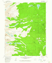
1957 Map of Ward
USGS Topo · Published 1961About this map
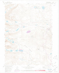
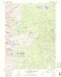
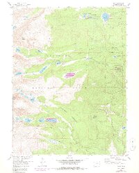
Niwot Ridge and the high peaks of the Front Range dominate this 1957 field-surveyed landscape, where alpine hydrology and seasonal recreation define the local geography. The settlement of Ward sits on the eastern edge of the quadrangle, serving as a gateway to the high-altitude wilderness of the Roosevelt National Forest. The map documents a transition from early resource management to institutional land use, evidenced by the presence of the University of Colorado Camp and various mountain retreats like Camp Audubon and Stapp Lakes Lodge.
Find a feature on this map
45 named features on this map. Tap any name to fly to it.
Don’t see what you’re looking for? This feature index may not catch every label — zoom into the map to look around manually.
Map Details
Editions of this 1957 Ward Map
7 editions found
Other maps of this area

1899 · West Denver
USGS Topo · 1:125,000

1902 · Boulder
USGS Topo · 1:62,500

1904 · Boulder
USGS Topo · 1:62,500

1905 · Central City
USGS Topo · 1:62,500

1906 · Blackhawk
USGS Topo · 1:62,500

1910 · Central City
USGS Topo · 1:62,500

1912 · Central City
USGS Topo · 1:62,500

1915 · Longs Peak
USGS Topo · 1:125,000

1919 · Rocky Mountain National Park
USGS Topo · 1:125,000

1942 · Nederland
USGS Topo · 1:24,000