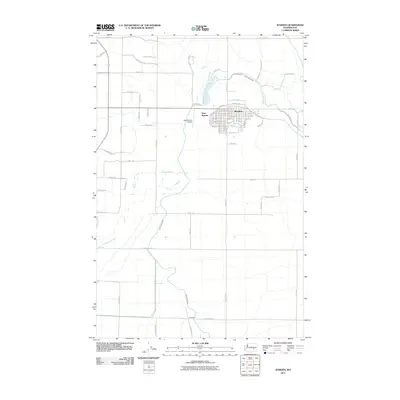
2011 Map of Warden
USGS Topo · Published 2011About this map
Warden serves as the focal point of this agricultural region, characterized by a meticulous grid of rural roads and irrigation infrastructure. The landscape is dominated by the East Low Canal, which winds through the territory to support the local farming economy. Residential and commercial development is concentrated in the town center and the adjacent West Warden, while the outlying areas are defined by large-scale agricultural blocks. Notable landmarks such as the New Warden Airport and the small settlement of Simenson further south highlight the distribution of services and habitation in Grant County. The transport network is anchored by several major thoroughfares, including W Providence Rd and W Herman Rd, which facilitate movement between the cultivated fields and the primary residential hubs.
Find a feature on this map
49 named features on this map. Tap any name to fly to it.
Don’t see what you’re looking for? This feature index may not catch every label — zoom into the map to look around manually.
Map Details
Editions of this 2011 Warden Map
This is the sole edition of this map. No revisions or reprints were ever made.
Other maps of this area

1916 · Connell
USGS Topo · 1:125,000

1918 · Connell
USGS Topo · 1:125,000

1923 · Wheeler
USGS Topo · 1:62,500

1924 · Othello
USGS Topo · 1:62,500

1925 · Wheeler
USGS Topo · 1:62,500

1925 · Schrag
USGS Topo · 1:62,500

1953 · Walla Walla
USGS Topo · 1:250,000

1953 · Ritzville
USGS Topo · 1:250,000

1954 · Bruce
USGS Topo · 1:24,000

1954 · Warden
USGS Topo · 1:24,000