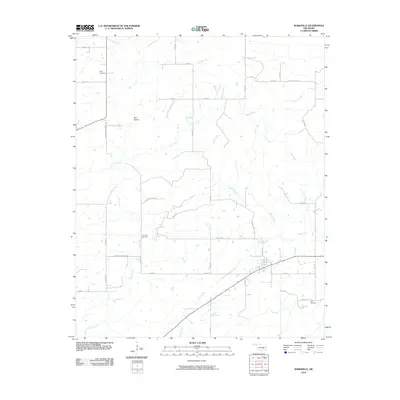
2010 Map of Wardville
USGS Topo · Published 2010About this map
Salt Prairie and a network of seasonal watercourses define the landscape of Atoka County in the early 21st century. This survey documents a rural environment where land use is shaped by the drainage patterns of Sandy Creek, Keel Creek, and Birch Creek. The road system follows a traditional section-line grid, though local variations like Cunningham-Lemons Rd and Lone Star Church Rd provide access to the interior. For genealogists, the map is a critical resource for locating small, family-associated burial grounds. Specifically, the locations of King Cemetery, Lone Star Cemetery, and Kelly Cemetery are clearly marked, often situated near the creeks or primary county roads that have served these communities for generations.
Find a feature on this map
39 named features on this map. Tap any name to fly to it.
Don’t see what you’re looking for? This feature index may not catch every label — zoom into the map to look around manually.
Map Details
Editions of this 2010 Wardville Map
This is the sole edition of this map. No revisions or reprints were ever made.
Other maps of this area

1896 · Coalgate
USGS Topo · 1:125,000

1898 · McAlester
USGS Topo · 1:125,000

1899 · Coalgate
USGS Topo · 1:125,000

1900 · Coalgate
USGS Topo · 1:125,000

1909 · Mc Alester
USGS Topo · 1:125,000

1950 · Mcalester
USGS Topo · 1:250,000

1957 · Coalgate
USGS Topo · 1:24,000

1957 · Coalgate SE
USGS Topo · 1:24,000

1957 · Limestone Gap
USGS Topo · 1:24,000

1957 · Ardmore
USGS Topo · 1:250,000