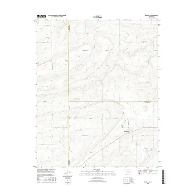
2016 Map of Wardville
USGS Topo · Published 2016About this map
The settlement of Wardville sits at the junction of several county roads in a landscape defined by the intersection of Atoka, Coal, and Pittsburg counties. This 2016 survey illustrates the persistent rural character of the region, where family and community heritage is anchored by several long-standing burial sites, including Wardville Cem, Lone Star Cem, King Cem, and Kelly Cem. The terrain is marked by a complex network of waterways, most notably Salt Cr, Birch Cr, and Keel Cr, which drain the lowlands of Salt Prairie. Local travel is facilitated by a grid of descriptive routes such as Indian Church Rd and Lone Star Church Rd, reflecting the historical influence of local churches on the area's development and orientation. The presence of multiple county boundaries within this single quadrangle makes it a vital resource for understanding jurisdictional shifts and local land use in this part of Oklahoma.
Find a feature on this map
36 named features on this map. Tap any name to fly to it.
Don’t see what you’re looking for? This feature index may not catch every label — zoom into the map to look around manually.
Map Details
Editions of this 2016 Wardville Map
This is the sole edition of this map. No revisions or reprints were ever made.
Other maps of this area

1896 · Coalgate
USGS Topo · 1:125,000

1898 · McAlester
USGS Topo · 1:125,000

1899 · Coalgate
USGS Topo · 1:125,000

1900 · Coalgate
USGS Topo · 1:125,000

1909 · Mc Alester
USGS Topo · 1:125,000

1950 · Mcalester
USGS Topo · 1:250,000

1957 · Coalgate
USGS Topo · 1:24,000

1957 · Coalgate SE
USGS Topo · 1:24,000

1957 · Limestone Gap
USGS Topo · 1:24,000

1957 · Ardmore
USGS Topo · 1:250,000