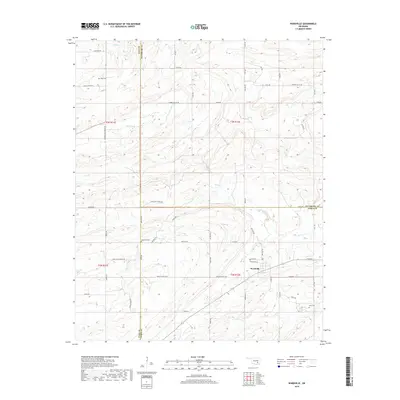
2019 Map of Wardville
USGS Topo · Published 2019About this map
Wardville serves as the central settlement in this portion of southeastern Oklahoma, situated near the intersection of Atoka, Coal, and Pittsburg counties. The terrain is defined by a dense network of drainages, including Rabbit Cr and Salt Cr, which carve through the landscape to create notable landforms such as Indian Bend. For those tracing local families, the map is punctuated by several burial grounds including Wardville Cem, Lone Star Cem, King Cem, and Kelly Cem, many located along rural routes like Indian Church Rd. The presence of Salt Prairie in the northern reaches suggests the specific alkaline soil conditions that influenced local land use. This survey illustrates a quiet, rural interior before further modern development, preserving the placement of namesake roads like Cunningham Lemons Rd and Harper Valley Rd.
Find a feature on this map
45 named features on this map. Tap any name to fly to it.
Don’t see what you’re looking for? This feature index may not catch every label — zoom into the map to look around manually.
Map Details
Editions of this 2019 Wardville Map
This is the sole edition of this map. No revisions or reprints were ever made.
Other maps of this area

1896 · Coalgate
USGS Topo · 1:125,000

1898 · McAlester
USGS Topo · 1:125,000

1899 · Coalgate
USGS Topo · 1:125,000

1900 · Coalgate
USGS Topo · 1:125,000

1909 · Mc Alester
USGS Topo · 1:125,000

1950 · Mcalester
USGS Topo · 1:250,000

1957 · Coalgate
USGS Topo · 1:24,000

1957 · Coalgate SE
USGS Topo · 1:24,000

1957 · Limestone Gap
USGS Topo · 1:24,000

1957 · Ardmore
USGS Topo · 1:250,000