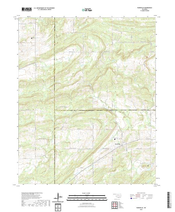
2022 Map of Wardville
USGS Topo · Published 2022About this map
Wardville sits at the junction of several county roads in a landscape where the borders of Atoka, Coal, and Pittsburg Counties converge. This 2022 survey details a rural region characterized by a dense network of tributaries including Rabbit Cr, Coal Cr, and Birch Cr. The mapping of family-named roads and landmarks provides significant value for local historians and genealogists. Local heritage is particularly evident through the preservation of several rural burial sites, including Wardville Cem, Lone Star Cem, and King Cem. Roads such as Indian Church Rd and Lone Star Church Rd hint at the historic community centers that once anchored these townships. The presence of Salt Prairie further distinguishes the local geography, situated among the undulating terrain north of N Boggy Cr.
Find a feature on this map
44 named features on this map. Tap any name to fly to it.
Don’t see what you’re looking for? This feature index may not catch every label — zoom into the map to look around manually.
Map Details
Editions of this 2022 Wardville Map
This is the sole edition of this map. No revisions or reprints were ever made.
Other maps of this area

1896 · Coalgate
USGS Topo · 1:125,000

1898 · McAlester
USGS Topo · 1:125,000

1899 · Coalgate
USGS Topo · 1:125,000

1900 · Coalgate
USGS Topo · 1:125,000

1909 · Mc Alester
USGS Topo · 1:125,000

1950 · Mcalester
USGS Topo · 1:250,000

1957 · Coalgate
USGS Topo · 1:24,000

1957 · Coalgate SE
USGS Topo · 1:24,000

1957 · Limestone Gap
USGS Topo · 1:24,000

1957 · Ardmore
USGS Topo · 1:250,000