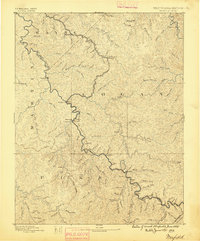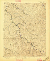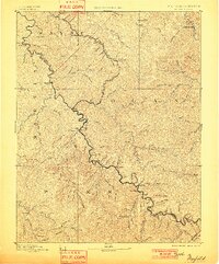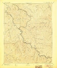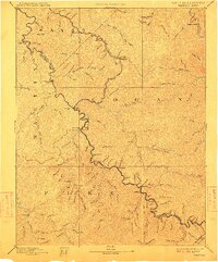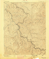
1891 Map of Warfield
USGS Topo · Published 1989About this map
The Tug Fork of Big Sandy River carves a winding path through the Central Appalachian coalfields, defining the West Virginia Kentucky Boundary Line during a period of rapid industrial transition. The arrival of the Norfolk and Western Railroad along the river valley signals the integration of this remote terrain into the national economy, connecting riverside settlements like Williamson and Matewan to the outside world. To the east, the Guyandotte River flows past Chapmansville, while the interior is dominated by a dense network of creek valleys including Pigeon Creek and Jennie Creek. The map documents numerous small post offices and communities such as White Post, Dingess, and Warfield, many of which were established as coal and timber resources began to be systematically extracted from the steep hillsides of Martin and Pike counties.
Find a feature on this map
95 named features on this map. Tap any name to fly to it.
Don’t see what you’re looking for? This feature index may not catch every label — zoom into the map to look around manually.
Map Details
Editions of this 1891 Warfield Map
7 editions found