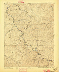
1891 Map of Warfield
USGS Topo · Published 1896About this map
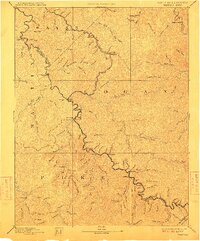
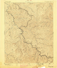
Tug Fork carves the winding boundary between Kentucky and West Virginia, anchoring a landscape defined by deep-cut hollows and small river settlements. Surveyed in the 1880s, the map reveals the region just as the coal and timber industries began to transform these ridges. Central to the sheet is the village of Warfield, situated across the water from Naugatuck. The complex network of creeks, such as Twelve Pole Creek and Mate Creek, illustrates the drainage patterns that dictated early travel and land ownership before the arrival of modern highway systems.
Find a feature on this map
90 named features on this map. Tap any name to fly to it.
Don’t see what you’re looking for? This feature index may not catch every label — zoom into the map to look around manually.
Map Details
Editions of this 1891 Warfield Map
7 editions found
Other maps of this area

1886 · Prestonsburg
USGS Topo · 1:125,000

1886 · Grundy
USGS Topo · 1:125,000

1887 · Warfield
USGS Topo · 1:125,000

1890 · Whitesburg
USGS Topo · 1:125,000

1890 · Grundy
USGS Topo · 1:125,000

1891 · Tazewell
USGS Topo · 1:125,000

1891 · Oceana
USGS Topo · 1:125,000

1891 · Warfield
USGS Topo · 1:125,000

1892 · Grundy
USGS Topo · 1:125,000

1892 · Whitesburg
USGS Topo · 1:125,000