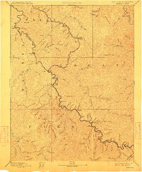
1891 Map of Warfield
USGS Topo · Published 1911About this map
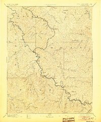
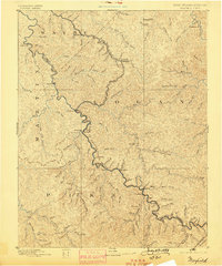
The Tug Fork of Big Sandy River snakes through the center of this terrain, serving as the natural boundary for the West Virginia Kentucky Boundary Line. Surveyed in the mid-1880s, the map illustrates the development of the Norfolk and Western RR Kennova Division as it follows the river valley through coal country. Early rail-reliant settlements such as Williamson, Matewan, and Dingess are clearly marked, established long before modern highways would reshape these valleys.
Find a feature on this map
128 named features on this map. Tap any name to fly to it.
Don’t see what you’re looking for? This feature index may not catch every label — zoom into the map to look around manually.
Map Details
Editions of this 1891 Warfield Map
7 editions found
Other maps of this area

1886 · Prestonsburg
USGS Topo · 1:125,000

1886 · Grundy
USGS Topo · 1:125,000

1887 · Warfield
USGS Topo · 1:125,000

1890 · Whitesburg
USGS Topo · 1:125,000

1890 · Grundy
USGS Topo · 1:125,000

1891 · Tazewell
USGS Topo · 1:125,000

1891 · Oceana
USGS Topo · 1:125,000

1891 · Warfield
USGS Topo · 1:125,000

1892 · Grundy
USGS Topo · 1:125,000

1892 · Whitesburg
USGS Topo · 1:125,000