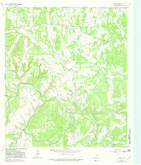
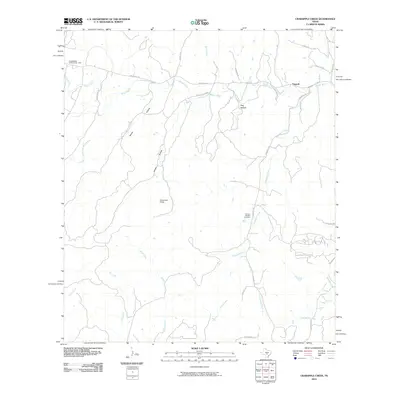
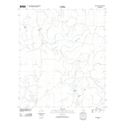
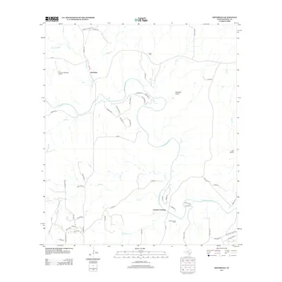
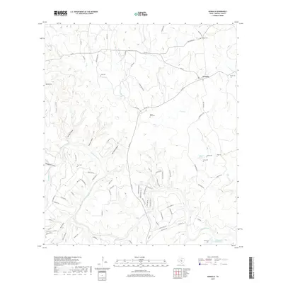
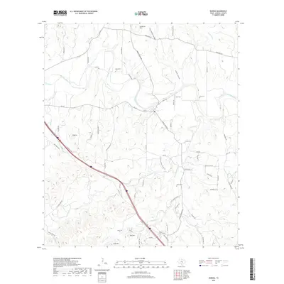
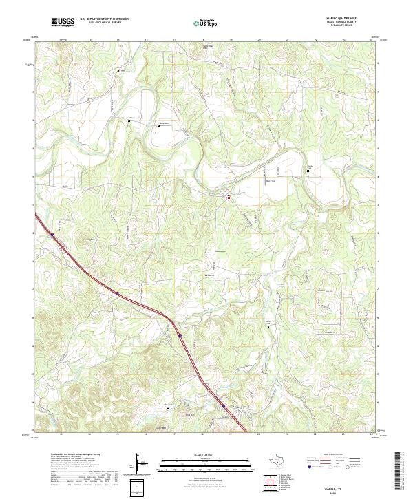
1964 Map of Waring
USGS Topo · Published 1982About this map
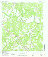
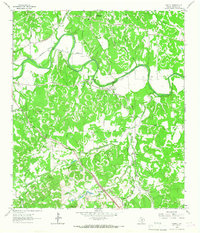
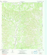
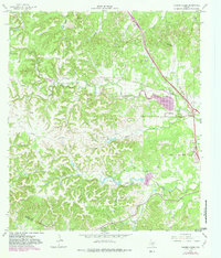
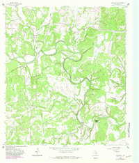
The Guadalupe River snakes through this Texas Hill Country landscape, serving as the central topographical anchor for the small settlements of Waring and Welfare. By the early 1980s, when this 1964 survey was revised, the transportation network showed clear signs of evolution, notably marked by an Old Railroad Grade and Old Road Grade that trace the path of former transit corridors through the valley.
Find a feature on this map
30 named features on this map. Tap any name to fly to it.
Don’t see what you’re looking for? This feature index may not catch every label — zoom into the map to look around manually.
Map Details
Editions of this 1964 Waring Map
2 editions found
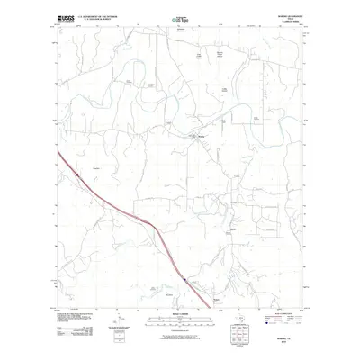
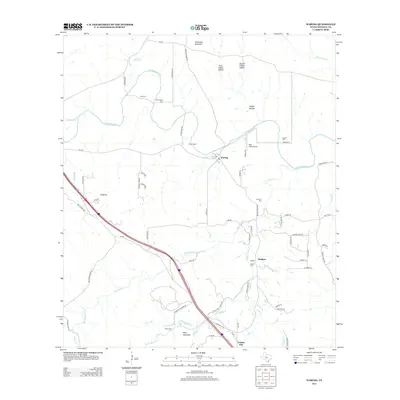
Historical Maps of Waring Through Time
42 maps found
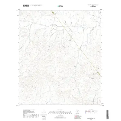
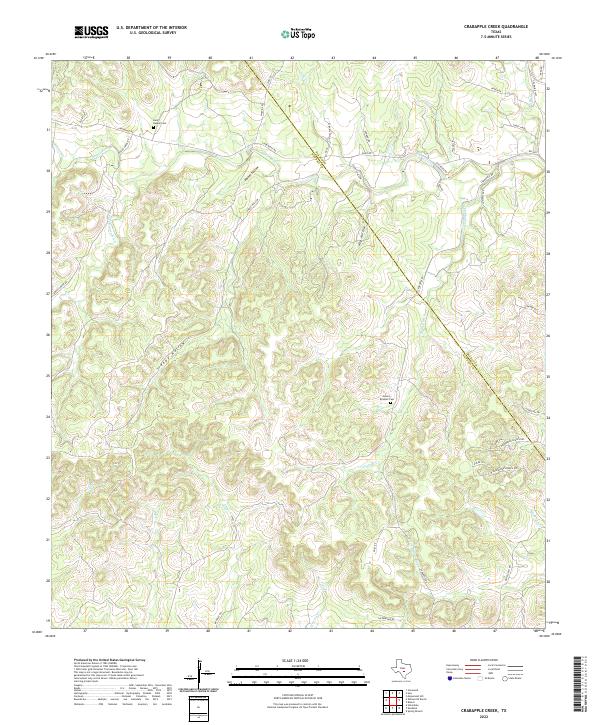
1963 Crabapple Creek
Kendall County, TX
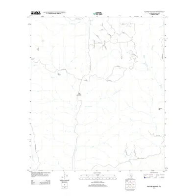
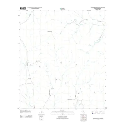
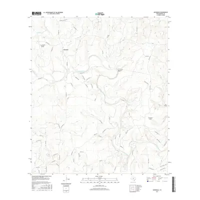
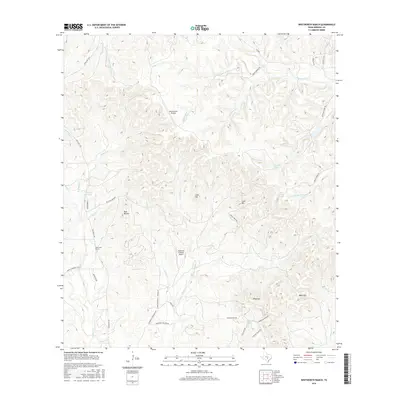
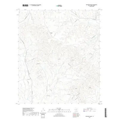
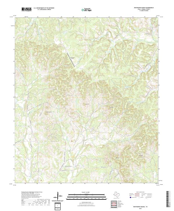
1963 Whitworth Ranch
Kendall County, TX
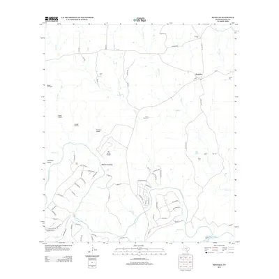
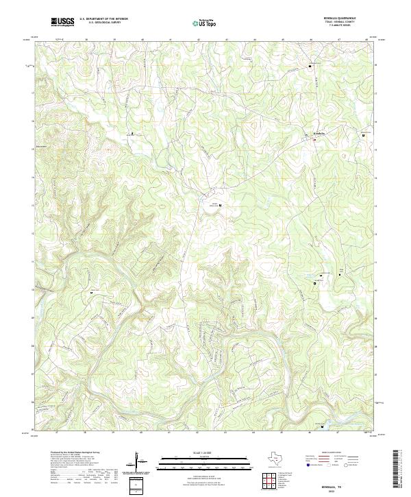
1964 Kendalia
Kendall County, TX
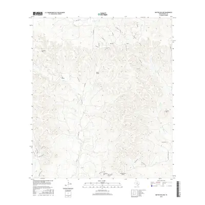
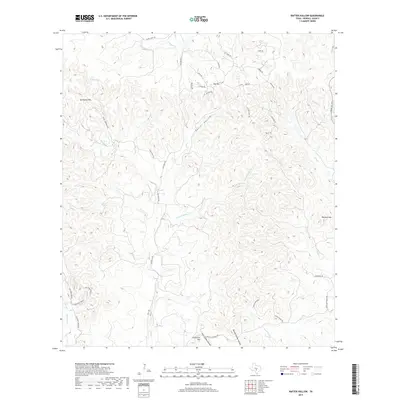
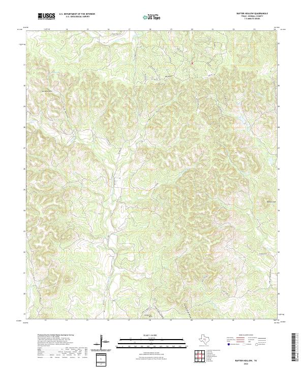
1964 Rafter Hollow
Kendall County, TX
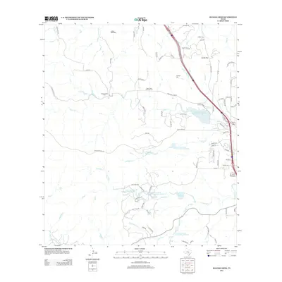
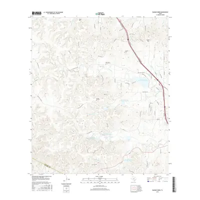
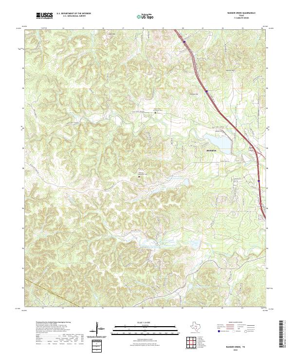
1964 Ranger Creek
Kendall County, TX
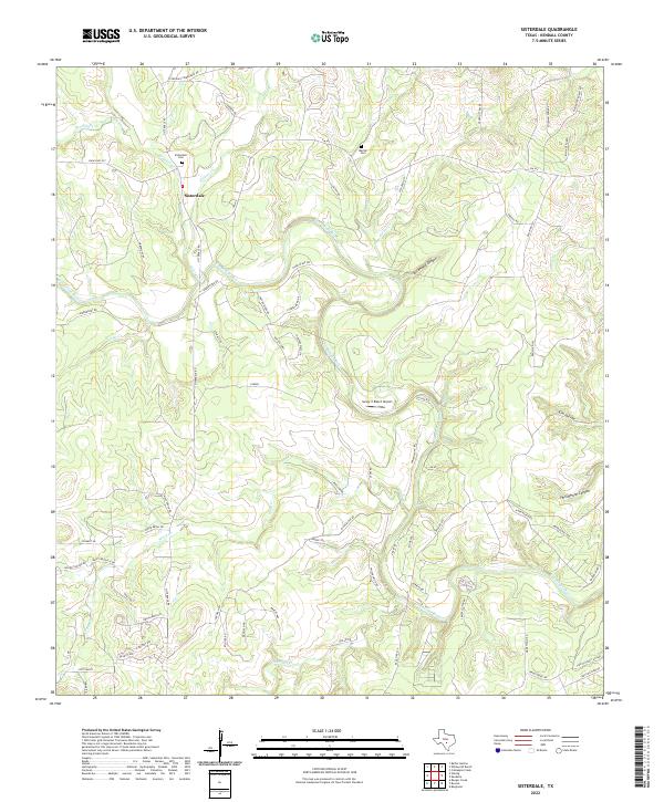
1964 Sisterdale
Kendall County, TX
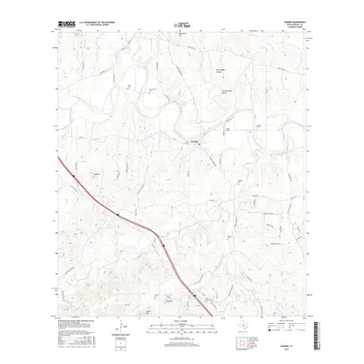
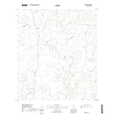
1964 Waring
Kendall County, TX
2010 Crabapple Creek
Kendall County, TX
2010 Kendalia
Kendall County, TX
2010 Rafter Hollow
Kendall County, TX
2010 Ranger Creek
Kendall County, TX
2010 Sisterdale
Kendall County, TX
2010 Waring
Kendall County, TX
2010 Whitworth Ranch
Kendall County, TX
2012 Crabapple Creek
Kendall County, TX
2012 Rafter Hollow
Kendall County, TX
2012 Whitworth Ranch
Kendall County, TX
2013 Kendalia
Kendall County, TX
2013 Ranger Creek
Kendall County, TX
2013 Sisterdale
Kendall County, TX
2013 Waring
Kendall County, TX
2016 Crabapple Creek
Kendall County, TX
2016 Kendalia
Kendall County, TX
2016 Rafter Hollow
Kendall County, TX
2016 Ranger Creek
Kendall County, TX
2016 Sisterdale
Kendall County, TX
2016 Waring
Kendall County, TX
2016 Whitworth Ranch
Kendall County, TX
2019 Crabapple Creek
Kendall County, TX
2019 Kendalia
Kendall County, TX
2019 Rafter Hollow
Kendall County, TX

2019 Ranger Creek
Kendall County, TX
2019 Sisterdale
Kendall County, TX
2019 Waring
Kendall County, TX
2019 Whitworth Ranch
Kendall County, TX
2022 Crabapple Creek
Kendall County, TX
2022 Kendalia
Kendall County, TX
2022 Rafter Hollow
Kendall County, TX
2022 Ranger Creek
Kendall County, TX
2022 Sisterdale
Kendall County, TX
2022 Waring
Kendall County, TX
2022 Whitworth Ranch
Kendall County, TX