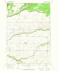
1965 Map of Warm River
USGS Topo · Published 1967About this map
Warm River and the neighboring agricultural settlements of Grainville and Drummond define this portion of Fremont County in the mid-1960s. The landscape is a complex network of water management, where the Henrys Fork and Falls River are supplemented by an intricate system of man-made waterways including the Reclamation Canal, Marysville Canal, and Yellowstone Canal. This infrastructure highlights the region's transition from the wilder timberlands of the Targhee National Forest in the north to the productive grain-growing plains in the south.
Find a feature on this map
27 named features on this map. Tap any name to fly to it.
Don’t see what you’re looking for? This feature index may not catch every label — zoom into the map to look around manually.
Map Details
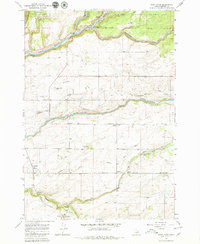
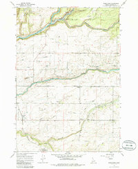
Editions of this 1965 Warm River Map
3 editions found
Other maps of this area

1955 · Ashton
USGS Topo · 1:250,000

1955 · Driggs
USGS Topo · 1:250,000

1957 · Warm River Butte
USGS Topo · 1:62,500

1958 · Driggs
USGS Topo · 1:250,000

1958 · Ashton
USGS Topo · 1:250,000

1960 · Ashton
USGS Topo · 1:250,000

1962 · Driggs
USGS Topo · 1:250,000

1965 · Lamont
USGS Topo · 1:24,000

1965 · Ashton
USGS Topo · 1:24,000

1965 · Lookout Butte
USGS Topo · 1:24,000