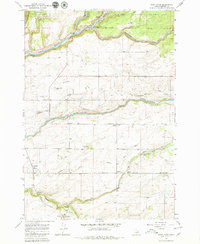
1965 Map of Warm River
USGS Topo · Published 1979About this map
Drummond and Grainville serve as the agricultural anchors of this Fremont County landscape during the mid-1960s. The agricultural industry is evident through the numerous Grain Elevators and Storage Bins scattered near the Union Pacific rail lines. Water management is a central theme of the region, featuring a complex network of irrigation infrastructure including the Reclamation Canal, Bergman Ditch, and a notable Aqueduct near Conant Creek.
Find a feature on this map
25 named features on this map. Tap any name to fly to it.
Don’t see what you’re looking for? This feature index may not catch every label — zoom into the map to look around manually.
Map Details
Editions of this 1965 Warm River Map
3 editions found
Other maps of this area

1955 · Ashton
USGS Topo · 1:250,000

1955 · Driggs
USGS Topo · 1:250,000

1957 · Warm River Butte
USGS Topo · 1:62,500

1958 · Driggs
USGS Topo · 1:250,000

1958 · Ashton
USGS Topo · 1:250,000

1960 · Ashton
USGS Topo · 1:250,000

1962 · Driggs
USGS Topo · 1:250,000

1965 · Lamont
USGS Topo · 1:24,000

1965 · Ashton
USGS Topo · 1:24,000

1965 · Lookout Butte
USGS Topo · 1:24,000