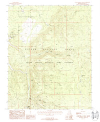
1988 Map of Warm Springs Canyon
USGS Topo · Published 1988About this map
Moquitch Camp and Mangum Camp anchor this 1980s landscape within the Kaibab National Forest, a region defined by complex drainage systems and livestock-water infrastructure. The transition from the Grand Canyon National Game Preserve across the Gila and Salt River Meridian shows a territory managed for both wildlife and utility, evidenced by the Ryan Substation along the Ryan Road. Water sources are critical here, with named features like Moquitch Spring, Tilton Springs, and Jacob Canyon Tank scattered throughout the branching forks of Warm Springs Canyon and Moquitch Canyon. The map reveals the intricate topographic fingers of Buck Ridge and Suicide Ridge, detailing the rugged canyons that feed into the larger plateau system of Coconino County.
Find a feature on this map
36 named features on this map. Tap any name to fly to it.
Don’t see what you’re looking for? This feature index may not catch every label — zoom into the map to look around manually.
Map Details
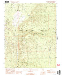
Editions of this 1988 Warm Springs Canyon Map
2 editions found
Other maps of this area

1886 · Kaibab
USGS Topo · 1:250,000

1936 · Jacobs Lake
USGS Topo · 1:48,000

1940 · Jacob Lake
USGS Topo · 1:62,500

1953 · Jacobs Lake
USGS Topo · 1:62,500

1953 · Grand Canyon
USGS Topo · 1:250,000

1957 · Grand Canyon
USGS Topo · 1:250,000

1957 · Shinarump SE
USGS Topo · 1:24,000
1957 · House Rock Spring SW
USGS Topo · 1:24,000

1957 · Shinarump SW
USGS Topo · 1:24,000
1957 · House Rock Spring
USGS Topo · 1:62,500