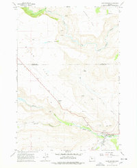
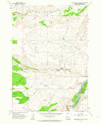
1963 Map of Warm Springs
USGS Topo · Published 1978About this map
The Warm Springs River carves through the basalt-edged plateau of north-central Oregon, defining the northwestern corner of the Warm Springs Indian Reservation. This landscape is characterized by high, arid mesas like Schoolie Flat and Miller Flat, which drop sharply into the Canyon of Shitike Creek. Near the southeastern edge of the map, the community of Warm Springs serves as a vital focal point, featuring essential infrastructure such as a Filtration Plant, Sewage Disposal, and Radio Towers. Cultural and civic landmarks including the Rodeo Grounds and Bruno Cem reflect the community life and heritage of the area. Sparse settlements like Wolford and numerous water sources such as Symentire Spring and Tohet Spring dot the dry uplands, illustrating the vital importance of water management in this high-desert environment.
Find a feature on this map
33 named features on this map. Tap any name to fly to it.
Don’t see what you’re looking for? This feature index may not catch every label — zoom into the map to look around manually.
Map Details
Editions of this 1963 Warm Springs Map
2 editions found
Other maps of this area

1928 · Madras
USGS Topo · 1:125,000

1931 · Madras
USGS Topo · 1:125,000

1955 · Bend
USGS Topo · 1:250,000

1957 · Bend
USGS Topo · 1:250,000

1958 · Bend
USGS Topo · 1:250,000

1962 · Metolius Bench
USGS Topo · 1:24,000
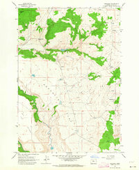
1962 · Simnasho
USGS Topo · 1:24,000
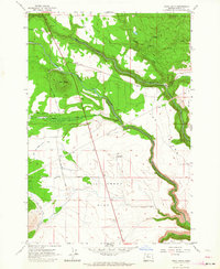
1962 · Hehe Butte
USGS Topo · 1:24,000

1962 · Eagle Butte
USGS Topo · 1:24,000
1962 · Seekseequa Junction
USGS Topo · 1:24,000