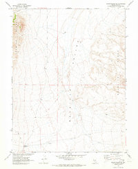
1968 Map of Warm Springs SE
USGS Topo · Published 1973About this map
Reveille Valley dominates the central portion of this 1968 survey, flanked by the dramatic elevations of the Kawich Range to the west and the Reveille Range to the east. This landscape in Nye County, Nevada, shows the clear markers of mid-century industrial and agricultural attempts in a demanding environment. The presence of the Reveille Mill (Ruins) serves as a significant landmark for those tracing the mining history of the region, while an Aqueduct and scattered Corral sites indicate the essential infrastructure required for water management and livestock. Navigation through this basin-and-range terrain is primarily via a Jeep Trail, emphasizing the area's isolation. In cooperation with the Atomic Energy Commission, the Geological Survey mapped these townships just as modern photogrammetric methods were refining our view of the Great Basin.
Find a feature on this map
11 named features on this map. Tap any name to fly to it.
Don’t see what you’re looking for? This feature index may not catch every label — zoom into the map to look around manually.
Map Details
Editions of this 1968 Warm Springs SE Map
2 editions found
Other maps of this area

1908 · Kawich
USGS Topo · 1:250,000

1942 · Reveille Peak
USGS Topo · 1:125,000

1952 · Kawich Peak
USGS Topo · 1:62,500

1952 · Reveille Peak
USGS Topo · 1:62,500

1954 · Goldfield
USGS Topo · 1:250,000

1955 · Goldfield
USGS Topo · 1:250,000

1956 · Tonopah
USGS Topo · 1:250,000

1958 · Goldfield
USGS Topo · 1:250,000

1959 · Tonopah
USGS Topo · 1:250,000

1962 · Goldfield
USGS Topo · 1:250,000