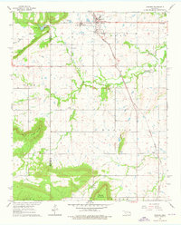
1963 Map of Warner
USGS Topo · Published 1976About this map
Connors State Agricultural College serves as the focal point of the Warner community, situated at the intersection of a developing road network and the Midland Valley railroad. The 1963 landscape reflects a mix of institutional growth and established family heritage, with several burial sites including Bennett Cem, Howland Cem, and Woodall Cem dotting the countryside. To the west, the terrain rises toward Mount Nebo and Dunigan Mountain, while the lowlands are defined by the winding paths of Georges Fork and the South Fork. This survey documents a critical period for the local infrastructure, from the Fish Hatchery and Warner Lake in the north to the Conley Sch in the southeast. The border between McIntosh and Muskogee Counties runs through the western sections, separating the high ridges from the prairie lands near Hensley Mountain.
Find a feature on this map
26 named features on this map. Tap any name to fly to it.
Don’t see what you’re looking for? This feature index may not catch every label — zoom into the map to look around manually.
Map Details
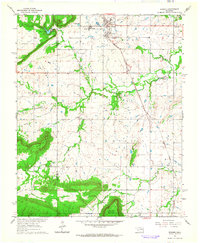
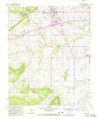
Editions of this 1963 Warner Map
3 editions found
Other maps of this area

1900 · Sansbois
USGS Topo · 1:125,000

1901 · Muscogee
USGS Topo · 1:125,000

1905 · Muscogee
USGS Topo · 1:125,000

1909 · Sans Bois
USGS Topo · 1:125,000

1911 · Sansbois
USGS Topo · 1:125,000

1946 · Fort Smith
USGS Topo · 1:250,000

1948 · Keefeton
USGS Topo · 1:62,500

1948 · Webbers Falls
USGS Topo · 1:62,500

1950 · Keefeton
USGS Topo · 1:62,500

1950 · Webbers Falls
USGS Topo · 1:62,500