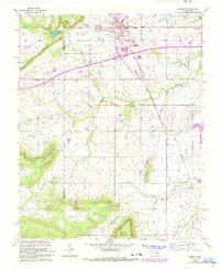
1963 Map of Warner
USGS Topo · Published 1993About this map
Connors State Agricultural College serves as a prominent landmark at the edge of Warner, where the terrain begins its ascent toward Mount Nebo. This survey, field-checked in the early 1960s and later updated in the 1990s, documents a landscape shaped by rural education and small family cemeteries. The mapping captures the community's layout before significant modern expansion, highlighting essential institutions like the High School and the remote Foreman School to the south.
Find a feature on this map
21 named features on this map. Tap any name to fly to it.
Don’t see what you’re looking for? This feature index may not catch every label — zoom into the map to look around manually.
Map Details
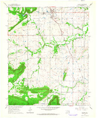
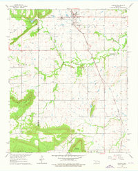
Editions of this 1963 Warner Map
3 editions found
Other maps of this area

1900 · Sansbois
USGS Topo · 1:125,000

1901 · Muscogee
USGS Topo · 1:125,000

1905 · Muscogee
USGS Topo · 1:125,000

1909 · Sans Bois
USGS Topo · 1:125,000

1911 · Sansbois
USGS Topo · 1:125,000

1946 · Fort Smith
USGS Topo · 1:250,000

1948 · Keefeton
USGS Topo · 1:62,500

1948 · Webbers Falls
USGS Topo · 1:62,500

1950 · Keefeton
USGS Topo · 1:62,500

1950 · Webbers Falls
USGS Topo · 1:62,500