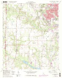
1973 Map of Warner Robins SW
USGS Topo · Published 1985About this map
The expanding residential and commercial footprints of Warner Robins and Centerville dominate this mid-1970s landscape, illustrating a period of rapid suburban growth in Houston County. Institutional development is prominent, with the Houston Vocational Center, Warner Robins Jr High School, and the County Hospital serving the growing population. Beyond the urbanized areas, the geography is defined by a network of creeks and small drainages, including Sandy Run Creek, Beulah Branch, and Mossy Creek, many of which feed into local landmarks like Lake Joy and Houston Lake. This era shows a distinctive mix of recreation and specialized infrastructure, featuring both the Golf Course and the Warner Robins Drag Way, reflecting the car-centric culture of the time. Local history and genealogy are anchored by established congregations such as Andrews Chapel and Mt Zion Church, alongside family resting places like Leverett Cemetery.
Find a feature on this map
48 named features on this map. Tap any name to fly to it.
Don’t see what you’re looking for? This feature index may not catch every label — zoom into the map to look around manually.
Map Details
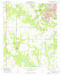
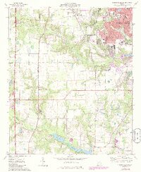
Editions of this 1973 Warner Robins SW Map
3 editions found
Other maps of this area

1956 · Fort Valley
USGS Topo · 1:62,500

1956 · Perry
USGS Topo · 1:62,500

1956 · Warner Robins
USGS Topo · 1:62,500

1957 · Macon
USGS Topo · 1:250,000

1958 · Macon
USGS Topo · 1:250,000

1964 · Macon
USGS Topo · 1:250,000

1972 · Perry West
USGS Topo · 1:24,000

1973 · Hayneville
USGS Topo · 1:24,000

1973 · Warner Robins NE
USGS Topo · 1:24,000
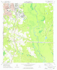
1973 · Warner Robins SE
USGS Topo · 1:24,000