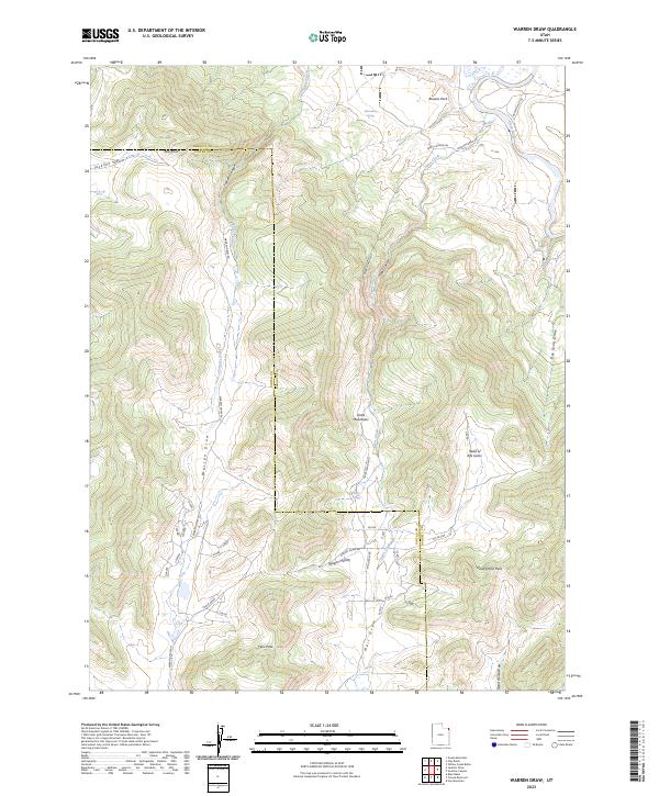
2023 Map of Warren Draw
USGS Topo · Published 2023About this map
The Uinta Mountains define the southern reaches of this landscape, where the high-altitude terrain gives way to complex drainage systems like Warren Draw and Wagon Hollow. To the north, the terrain descends toward Browns Park, a notable lowland basin through which the Green River flows. The area is marked by a network of seasonal water sources and landmarks including Sears Spring and the prominent Red Knoll.
Find a feature on this map
29 named features on this map. Tap any name to fly to it.
Don’t see what you’re looking for? This feature index may not catch every label — zoom into the map to look around manually.
Map Details
Editions of this 2023 Warren Draw Map
This is the sole edition of this map. No revisions or reprints were ever made.
Other maps of this area

1885 · Ashley
USGS Topo · 1:250,000

1950 · Blair Basin
USGS Topo · 1:24,000

1952 · Warren Draw
USGS Topo · 1:24,000

1952 · Willow Creek Butte
USGS Topo · 1:24,000

1952 · Swallow Canyon
USGS Topo · 1:24,000

1952 · Clay Basin
USGS Topo · 1:24,000

1952 · Goslin Mtn
USGS Topo · 1:24,000

1954 · Vernal
USGS Topo · 1:250,000

1958 · Vernal
USGS Topo · 1:250,000

1960 · Vernal
USGS Topo · 1:250,000