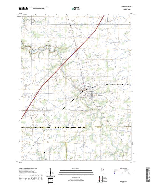
2022 Map of Warren
USGS Topo · Published 2022About this map
The Salomonie River meanders across this Huntington County landscape, anchoring the settlement of Warren. This area reflects a deeply established agricultural grid, where the river and its numerous managed tributaries like Wearley Ditch and Detamore Ditch define the drainage of the fertile plains. Small communities such as Plum Tree in the northeast and Milo in the southwest sit at key crossroads, serving as local centers for the surrounding farming townships.
Find a feature on this map
70 named features on this map. Tap any name to fly to it.
Don’t see what you’re looking for? This feature index may not catch every label — zoom into the map to look around manually.
Map Details
Editions of this 2022 Warren Map
This is the sole edition of this map. No revisions or reprints were ever made.
Other maps of this area

1950 · Andrews
USGS Topo · 1:24,000

1950 · Warren
USGS Topo · 1:24,000

1950 · Mount Etna
USGS Topo · 1:24,000

1951 · Mount Etna
USGS Topo · 1:24,000

1951 · Andrews
USGS Topo · 1:24,000

1952 · Warren
USGS Topo · 1:24,000

1952 · Majenica
USGS Topo · 1:24,000

1953 · Muncie
USGS Topo · 1:250,000

1955 · Markle
USGS Topo · 1:24,000

1956 · Muncie
USGS Topo · 1:250,000