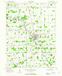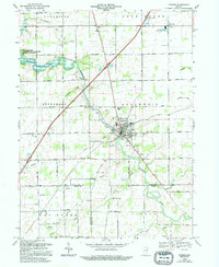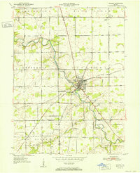
1952 Map of Warren
USGS Topo · Published 1952About this map
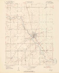
The Salamonie River winds through the heart of this Indiana landscape, anchoring the settlement of Warren as it appeared in the early 1950s. This survey illustrates a rural region defined by its waterway and rail infrastructure, specifically the New York Chicago and St Louis railroad which cuts through the township of Salamonie. Evidence of early industry and community life is scattered throughout the grid, with several petroleum Oil wells and scattered family or community landmarks such as the Methodist Home. Smaller outlying settlements like Plum Tree and Milo are documented, along with several rural burial grounds including Redmen Cem, West Union Cem, and Taylor Cem. The map provides a detailed view of the tri-county corner where Huntington, Grant, and Wells counties meet, marked by the confluence of Weasel Creek and Black Creek with the main river.
Find a feature on this map
26 named features on this map. Tap any name to fly to it.
Don’t see what you’re looking for? This feature index may not catch every label — zoom into the map to look around manually.
Map Details
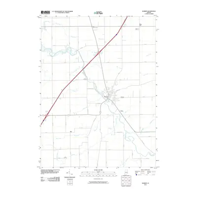
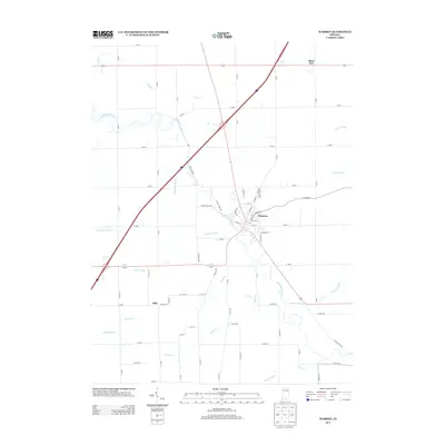
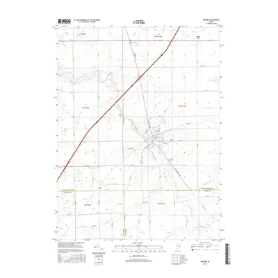
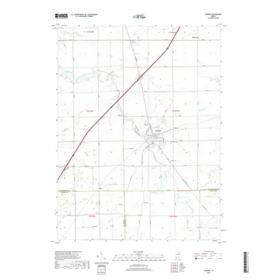
Editions of this 1952 Warren Map
2 editions found
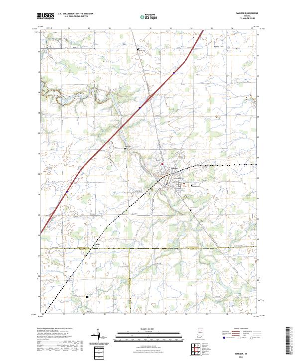
Historical Maps of Warren Through Time
8 maps found