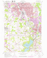
1959 Map of Warren
USGS Topo · Published 1979About this map
The Mahoning River winds through this industrial landscape, where the urban centers of Warren and Niles are linked by a dense network of Conrail and Baltimore and Ohio rail lines. This late-1950s environment reflects the height of Ohio's steel-era infrastructure, evidenced by the large Slag Dump and numerous neighborhood schools like McKinley High Sch and Harding High Sch. The southern portion of the map is dominated by the Meander Creek Reservoir, a massive water project with its spillway near Ohltown. Neighborhoods are densely packed with local landmarks, ranging from Packard Park to the Radio Towers (WHHH) in Lordstown. For genealogists, the map is particularly rich in cemetery data, documenting sites such as Oakwood Cemetery, St Marys Cem, and the House of Israel Cem.
Find a feature on this map
88 named features on this map. Tap any name to fly to it.
Don’t see what you’re looking for? This feature index may not catch every label — zoom into the map to look around manually.
Map Details
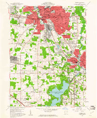
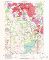
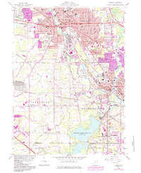
Editions of this 1959 Warren Map
4 editions found
Other maps of this area

1905 · Bristolville
USGS Topo · 1:62,500

1906 · Youngstown
USGS Topo · 1:62,500

1907 · Kinsman
USGS Topo · 1:62,500

1907 · Bristolville
USGS Topo · 1:62,500

1908 · Youngstown
USGS Topo · 1:62,500

1908 · Warren
USGS Topo · 1:62,500

1950 · Cleveland
USGS Topo · 1:250,000

1951 · Youngstown
USGS Topo · 1:24,000

1952 · Lake Milton
USGS Topo · 1:24,000

1952 · Canfield
USGS Topo · 1:24,000
Featured Places
- Warren, OH
- Weathersfield Township, OH
- Howland Township, OH
- Niles, Weathersfield Township
- Warren Township, OH