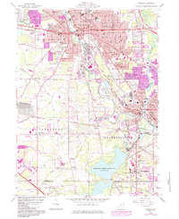
1959 Map of Warren
USGS Topo · Published 1985About this map
Industrial and suburban expansion defines the landscape around Warren and Niles as the mid-century era transitioned into the 1980s. The Mahoning River winds through the heart of this manufacturing corridor, flanked by an extensive rail network including Conrail and the B & O lines. Local genealogy is well-preserved through numerous community landmarks, from the Oakwood Cemetery to a dense concentration of neighborhood schools like Harding High Sch and Jefferson Sch. To the south, the massive Meander Creek Reservoir provides a stark contrast to the dense urban grid, serving as a primary hydrological feature for Weathersfield and Austintown. The map reveals the growth of outlying areas like Leavittsburg and Lordstown, where the Ohio Turnpike begins to influence the regional transit pattern, and smaller settlements like Soaptown and Evansville maintain their local identities.
Find a feature on this map
87 named features on this map. Tap any name to fly to it.
Don’t see what you’re looking for? This feature index may not catch every label — zoom into the map to look around manually.
Map Details
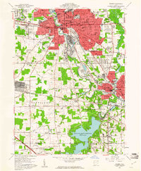
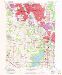
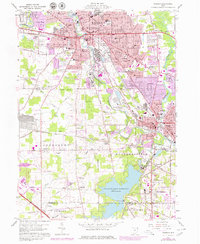
Editions of this 1959 Warren Map
4 editions found
Other maps of this area

1905 · Bristolville
USGS Topo · 1:62,500

1906 · Youngstown
USGS Topo · 1:62,500

1907 · Kinsman
USGS Topo · 1:62,500

1907 · Bristolville
USGS Topo · 1:62,500

1908 · Youngstown
USGS Topo · 1:62,500

1908 · Warren
USGS Topo · 1:62,500

1950 · Cleveland
USGS Topo · 1:250,000

1951 · Youngstown
USGS Topo · 1:24,000

1952 · Lake Milton
USGS Topo · 1:24,000

1952 · Canfield
USGS Topo · 1:24,000
Featured Places
- Warren, OH
- Weathersfield Township, OH
- Howland Township, OH
- Niles, Weathersfield Township
- Warren Township, OH