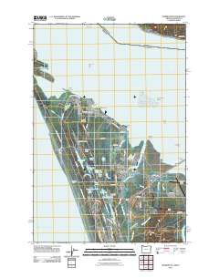
2011 Map of Warrenton
USGS Topo · Published 2011About this map
Warrenton sits at the confluence of the Skipanon River and the Columbia River, serving as a critical maritime and aviation hub near the Oregon coast. The landscape is defined by its complex hydrology, where numerous small water bodies like Coffenbury Lake, Crabapple Lake, and Creep and Crawl Lake are tucked behind the protective dunes of Fort Stevens State Park. This area preserves the grounds of Fort Stevens, including the Soldiers Cemetery, reflecting the region's long military and maritime history.
Find a feature on this map
92 named features on this map. Tap any name to fly to it.
Don’t see what you’re looking for? This feature index may not catch every label — zoom into the map to look around manually.
Map Details
Editions of this 2011 Warrenton Map
This is the sole edition of this map. No revisions or reprints were ever made.
Other maps of this area

1919 · Astoria
USGS Topo · 1:62,500

1938 · Cape Disappointment
USGS Topo · 1:62,500

1938 · Fort Columbia
USGS Topo · 1:62,500

1939 · Astoria
USGS Topo · 1:62,500

1943 · Fort Columbia
USGS Topo · 1:62,500

1943 · Copalis Beach
USGS Topo · 1:250,000

1949 · Astoria
USGS Topo · 1:24,000

1949 · Chinook
USGS Topo · 1:24,000

1949 · Knappton
USGS Topo · 1:24,000

1949 · Gearhart
USGS Topo · 1:24,000